

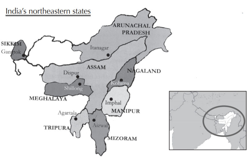
Tripura - Geography
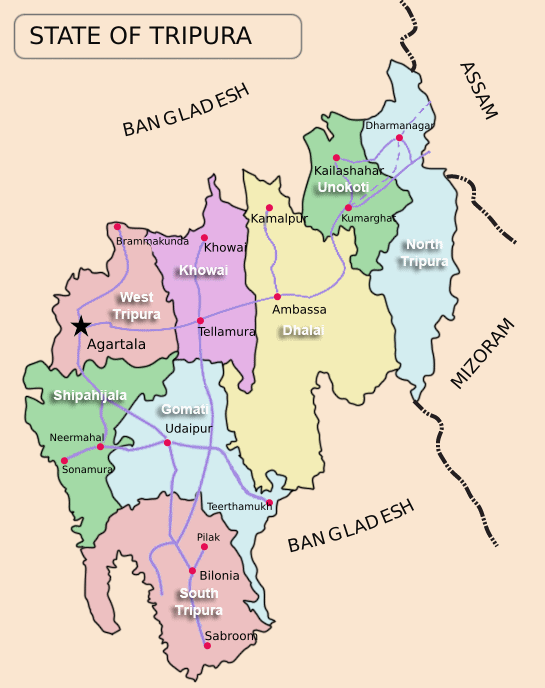
 Tripura is a land locked state and its geographical limits touch both national and inter national boundaries. Its length of international boundary line with Bangladesh measures 839 km. Its national boundaries with Assam and Mizoram measure 53 km and 109 km respectively.
The State of Tripura, with a geographical area of 10,491 sq. kms, is predominantly a hilly region. Its total population is 3 million. It is surrounded on all sides by deltaic basin of Bangladesh except for a small part in North-East which adjoins Cachar district of Assam and Mizoram. The terrain by and large consists of parallel hills and ridges running from the northwest to the southeast direction, with alternating narrow valleys.
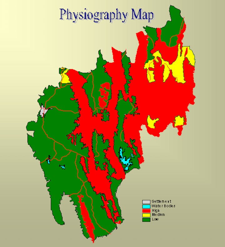
The state is situated between 22°56" and 24°32" North latitudes and 91°0' and 92°0' East longitudes with the Tropic of Cancer passing through it. The State has three distinct physiographic zones i) hill ranges ii) undulating plateau land and iii) low-lying alluvial land.'Five major hill ranges traverse the State in roughly north-south direction and continue southward into Chittagong Hill Tract. Narrow valleys separate these ranges generally 20 km wide. The easternmost range is Jampui, being successively followed to the West by Unokoti-Sakhantlang, Longthorai, Atharamura-Kalajhari and Baramura-Deotamura. The highest peak lies at Bethliangchhip (Thaidawar, Shib-rangkhung), 975.36 m above the sea level.
The State of Tripura is well endowed with surface water resources. As many as 10 (ten) major rivers in the state is reported to generate an annual flow of 793 million cubic meter of water. All rivers are rain-fed and ephemeral in nature. All major rivers originate from hill ranges they are generally ephemeral in nature and their flow is directly related to the rainfall.
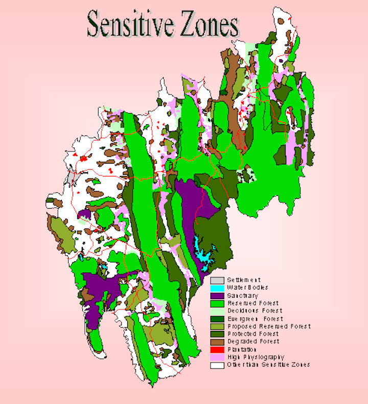
Sedimentary rocks which range in age from Miocene to loosely consolidated sediments of recent age represent the geology of the state. The rocks are sandstone, siltstone and shale grading into clay. These rock types are repeated as layers, one above the other. Depending on their character and the presence of fossils, these sedimentary rock sequences are divided into Surma group, Tipam group and the Dupitila group. From the nature of the grains and the texture imprinted on these rocks, it is inferred that originally the sediments were deposited in the sea and later converted into rocks. The recent fluvial deposits occupy quite a large part of south Tripura district. The sedimentary rocks are deformed and folded.

|
NEWSLETTER
|
| Join the GlobalSecurity.org mailing list |
|
|
|