

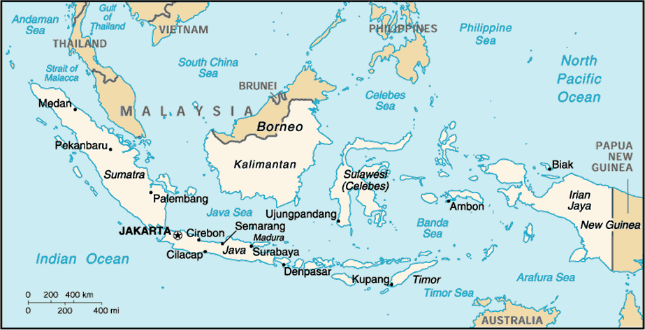
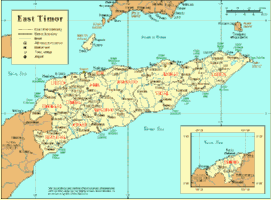
Timor Crisis Maps & Satellite Imagery
|

|

54k GIF |
220K PDF |
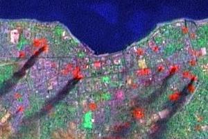 LANDSAT 7 satellite images taken over Dili, East Timor about 10am on 8th September 1999 |
|
Sources and Methods
|
NEWSLETTER
|
| Join the GlobalSecurity.org mailing list |
|
|
|