

North Shield - Environment
 If Americans were asked to describe the North Shield, "cold" would probably be the most commonly used adjective. Average January temperatures range from a high of about -7C along its southern Great Lakes margin to a full -40C in parts of Alaska. Temperatures can reach -60C.
Not only are winter temperatures low across most of the region, but winters are long. The average time between the last frost in the spring and the first in the fall is roughly 135 days at the southern margins of the area but little more than 14 days along parts of the Arctic Ocean. Because virtually all major food crops need a growing season of longer than 90 days, they can be grown in only a few small areas along the southern margins.
Summers, generally short and cool, can have surprisingly warm days. Maritime moderation is significant only along the peripheries, mainly in the east and west.
This dramatic seasonal variation in temperature results from the great shifts in length of day and the angle of incidence of the sun's rays. As the Earth follows its annual path around the sun, the North Pole is tilted toward the sun during what is summer in America and away from it in winter. Thus, everywhere north of the Arctic Circle is in darkness for at least one day at midwinter and experiences at least a 24-hour period without the sun setting at midsummer. Moreover, during the winter, the sun, when it rises, remains low on the horizon. Even southern sections of the region receive only six or seven daylight hours during the winter.
Precipitation amounts vary widely across the North Shield. Highest levels are found in the far southeast, where both winter and summer storm systems dump more than 100 centimeters of annual precipitation along the southern shore of Labrador. Precipitation levels drop markedly toward the interior and north.
Despite the paucity of precipitation, little of the North Shield provides the appearance of a dry environment. In the summer, in fact, much of the region is covered with standing water. This is due, in part, to the low levels of evaporation and evapotranspiration found in this cold climate. In the northern portions of the region, standing water is also supported by the widespread existence of permafrost--a subsurface layer of permanently frozen ground that is commonly about 100 meters thick and sometimes extends downward for more than 300 meters. In warmer areas, the permafrost is discontinuous, with areas of frozen ground interspersed with unfrozen soil. As the surface layer thaws during the short summer to a depth of perhaps 1 meter, water is held on the surface by the frozen layer underneath, creating a boggy, shifting surface.
Construction in permafrost is difficult. Buildings must be placed on piles sunk deeply into the permafrost for stability, and roads must be repaired extensively each year to maintain any resemblance of an even roadbed. Most of Alaska is underlain by continuous or discontinuous permafrost.
Although considerable local terrain variation is found, much of the North Shield topography is either flat or gently rolling. The north slope of Alaska, for example, is a broad, flat coastal plain.
North Shield soils are varied but are generally acidic, poorly drained, and of low agricultural quality. Soils in the southern portion of the region are mostly boralfs or spodosols soils of a cool needleleaf forest environment. To the north, tundra soils, often water saturated and frozen, dominate. Fertile soil is confined to some of the old river valleys and to those lakes that have been filled by sedimentation and decayed vegetation.
Most of the North Shield can be placed in two distinct vegetation areas. Stretching across the southern arc of the region is a coniferous forest called the boreal forest, or taiga. Covering hundreds of thousands of square kilometers, these closely ranked spruces, firs, pines, and tamaracks appear to blanket the landscape in a dark, almost black mass when seen from the air. Slow growing and never really tall, these trees decrease in number and height from south to north across the taiga. Around the Great Lakes, a mixture of pines and hardwoods predominate.
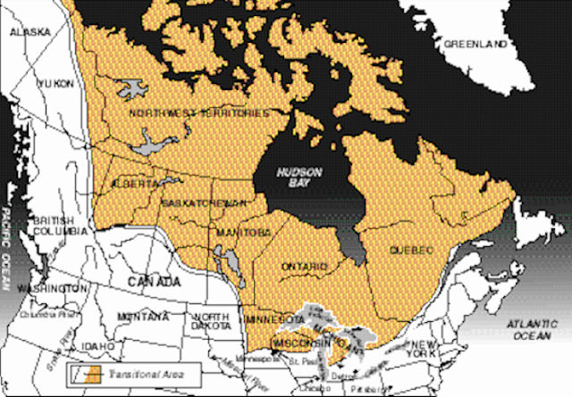
Passing just south of Hudson Bay, then angling northwest to the mouth of the Mackenzie River and across the northern edge of Alaska, is the tree line, which identifies the transitional zone between the taiga and tundra in the North Shield. North of it, climatic conditions are too harsh for tree-like vegetation. Beyond lies the tundra, a region of lichens, grasses, mosses, and shrubs.
The great Arctic ice pack, covering some 4.8 million square kilometers, is a thin (usually 3 to 6 meters thick), rugged sheet of nearly salt-free ice floating on the Arctic Ocean. It holds as much water as all the freshwater lakes in the world. In winter it extends southward to enshroud northern Alaska. Summer melt briefly frees the area.
The ice limits ocean transport in the Arctic to a brief, often hectic period each summer. An early return of the ice can sometimes block ships (and whales that migrate into the Arctic Ocean during the summer) from escaping to open water to the south. The ice also minimizes any moderating impact by the Arctic Ocean on the North Shield' climate.
|
NEWSLETTER
|
| Join the GlobalSecurity.org mailing list |
|
|
|