


Qayyarah Airfield West / Saddam Airbase
| Imagery of Qayyarah Airfield West / Saddam Airbase | |
| Click on the small image to view a larger version | |

Overview of the Middle East with Iraq in the center |

CIA Map of Iraq |
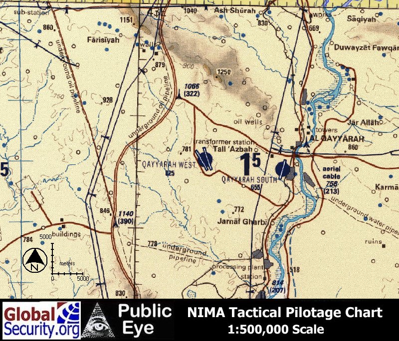
Tactical Pilotage Chart of the Qayyarah Airfield West |
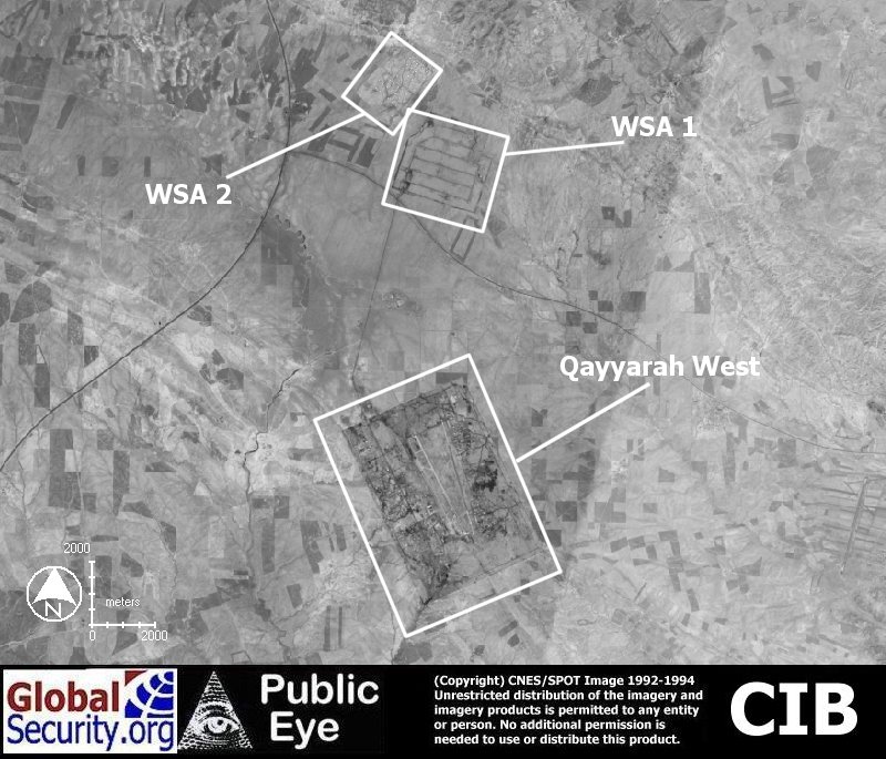
CIB overview Qayyarah West and the two weapon storage areas to the north, as of 1995 |
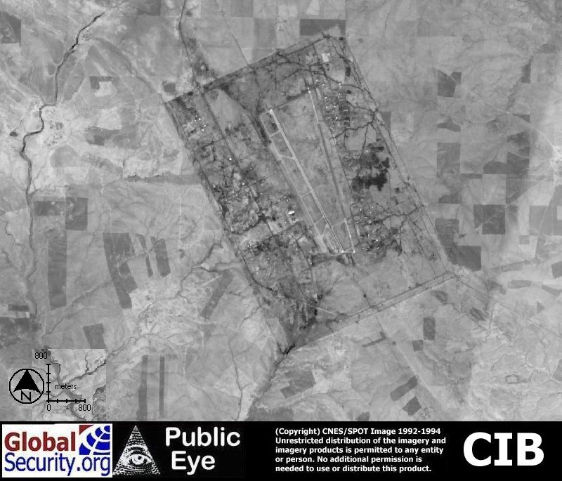
CIB overview Qayyarah West as of 1995 |
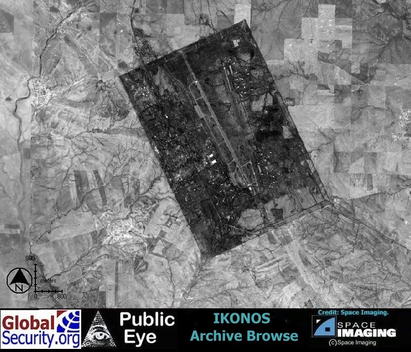
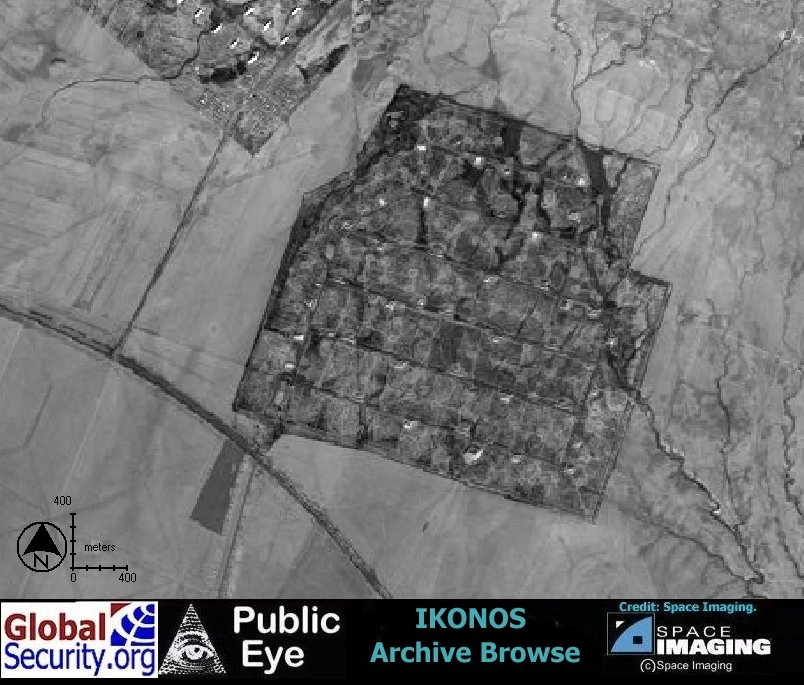
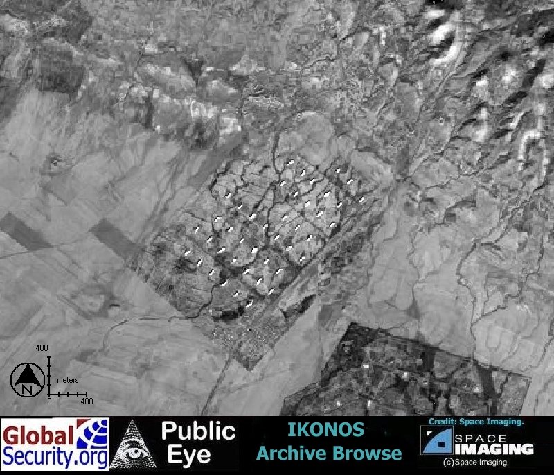
Ikonos browse imagery of Qayyarah West as of June 2001 |
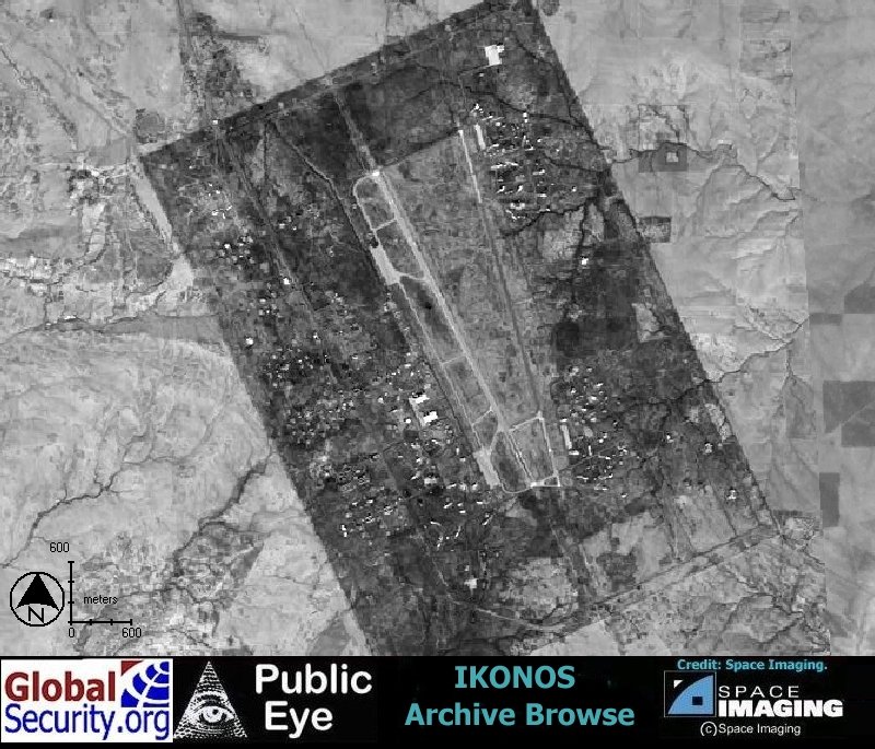
Ikonos browse imagery of Qayyarah West as of January 2002 |
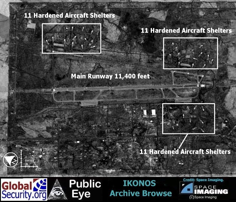
Ikonos browse imagery of Qayyarah West as of January 2002. At least 33 hardened aircraft shelters are visible |
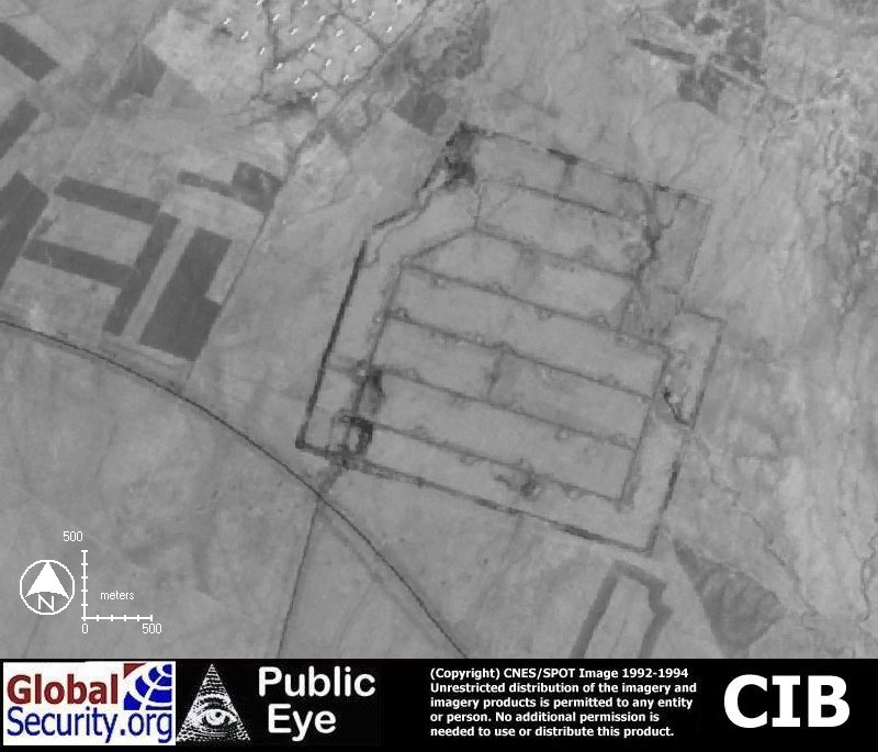
Weapon Storage Area 1 measuring over 1640 acres, and containing at least 30 munitions storage igloos |
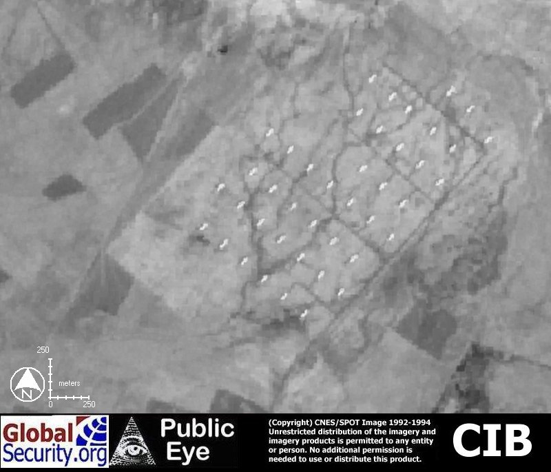
Weapon Storage Area 2 measuring 800 acres, and containing 42 igloos |
Weapon Sorage Area 1 as of January 2002. New vegetation defines the security perimeter |
Weapon Storage Area 2 as of January 2002 |
|
NEWSLETTER
|
| Join the GlobalSecurity.org mailing list |
|
|
|