

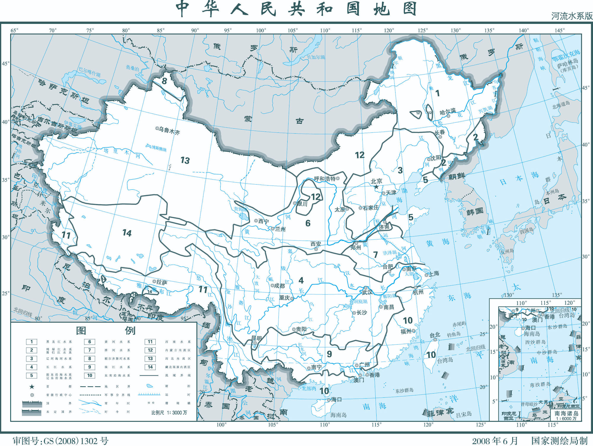
China - Rivers
 Because the river level drops precipitously toward the North China Plain, where it continues a sluggish course across the delta, it transports a heavy load of sand and mud from the upper reaches, much of which is deposited on the flat plain. The flow is channeled mainly by constantly repaired man made embankments; as a result the river flows on a raised ridge fifty meters or more above the plain, and water-logging, floods, and course changes have recurred over the centuries. Traditionally, rulers were judged by their concern for or indifference to preservation of the embankments. In the modern era, the new leadership has been deeply committed to dealing with the problem and has undertaken extensive flood control and conservation measures.
Flowing from its source in the Qing Zang highlands, the Huang He courses toward the sea through the North China Plain, the historic center of Chinese expansion and influence. Han people have farmed the rich alluvial soils of the plain since ancient times, constructing the Grand Canal for north-south transport. The plain itself is actually a continuation of the Dongbei (Manchurian) Plain to the northeast but is separated from it by the Bo Hai Gulf, an extension of the Huang Hai (Yellow Sea).
Like other densely populated areas of China, the plain is subject not only to floods but to earthquakes. For example, the mining and industrial center of Tangshan, about 165 kilometers east of Beijing, was leveled by an earthquake in July 1976 that reportedly also killed 242,000 people and injured 164,000.
The Qin Ling mountain range, a continuation of the Kunlun Mountains, divides the North China Plain from the Chang Jiang Delta and is the major physiographic boundary between the two great parts of China Proper. It is in a sense a cultural boundary as well, influencing the distribution of custom and language. South of the Qin Ling divide are the densely populated and highly developed areas of the lower and middle plains of the Chang Jiang and, on its upper reaches, the Sichuan Basin, an area encircled by a high barrier of mountain ranges.
The country's longest and most important waterway, the Chang Jiang is navigable over much of its length and has a vast hydroelectric potential. Rising on the Qing Zang Plateau, the Chang Jiang traverses 6,300 kilometers through the heart of the country, draining an area of 1.8 million square kilometers before emptying into the East China Sea. The roughly 300 million people who live along its middle and lower reaches cultivate a great rice- and wheat-producing area. The Sichuan Basin, favored by a mild, humid climate and a long growing season, produces a rich variety of crops; it is also a leading silk-producing area and an important industrial region with substantial mineral resources.
Second only to the Qin Ling as an internal boundary is the Nan Ling, the southernmost of the east-west mountain ranges. The Nan Ling overlooks the part of China where a tropical climate permits two crops of rice to be grown each year. Southeast of the mountains lies a coastal, hilly region of small deltas and narrow valley plains; the drainage area of the Zhu Jiang (Pearl River) and its associated network of rivers occupies much of the region to the south. West of the Nan Ling, the Yunnan-Guizhou Plateau rises in two steps, averaging 1,200 and 1,800 meters in elevation, respectively, toward the precipitous mountain regions of the eastern Qing Zang Plateau.
The Hai He, like the Zhu Jiang and other major waterways, flows from west to east. Its upper course consists of five rivers that converge near Tianjin, then flow seventy kilometers before emptying into the Bo Hai Gulf. Another major river, the Huai He, rises in Henan Province and flows through several lakes before joining the Chang Jiang near Yangzhou.
Inland drainage involving a number of upland basins in the north and northeast accounts for about 40 percent of the country's total drainage area. Many rivers and streams flow into lakes or diminish in the desert. Some are useful for irrigation.
China's extensive territorial waters are principally marginal seas of the western Pacific Ocean; these waters wash the shores of a long and much-indented coastline and approximately 5,000 islands. The Yellow, East China, and South China seas, too, are marginal seas of the Pacific Ocean. More than half the coastline (predominantly in the south) is rocky; most of the remainder is sandy. The Bay of Hangzhou roughly divides the two kinds of shoreline.
|
NEWSLETTER
|
| Join the GlobalSecurity.org mailing list |
|
|
|