

Jazireh-ye Larak (26°51'N., 56°21'E.)
 Jazireh-ye Larak (26°51'N., 56°21'E.), barren and consisting of many high rugged hills, has generally steep-to shores. The island is similar in appearance to Jazireh-ye Hormoz when seen from the SE at night; however, soundings are deeper from the former island at equal distances offshore. About 1 mile SW of the highest peak on Jaziret-ye Larak is the perfectly conical light-colored peak which is one of the best landmarks in the area as seen from NW or SE. The Strait of Hormuz is approximately 100 nmi long and just 24 nmi wide at its narrowest point between Larak Island (Iran) and the Quoin Islands (Oman).
During the Iran-Iraq War, to secure its oil revenues after the bombing of Kharg Iland Iran built export facilities further down the Gulf, out of range of Iraqi strikes. Since 1985, the Iranians used a fleet of tankers to ferry oil down the Gulf to trans-shipment centers in the southern Gulf. A shuttle was established between Kharg island and Sirri island by February 1985. Iranian tankers would make the dangerous shuttle run between Larak Island and Kharg Island, with the result that foreign-flag tankers were largely spared from Iraqi attacks. A floating terminal was established on Larak Island in June 1986. In August 1986 an Iraqi air raid demonstrated that the Sirri oil export facility was vulnerable to attack, and Iran was forced to transfer more of its export operations to the floating terminal at Larak Island (250 km east of Sirri.
The Iraqis shocked Iran and many military observers when they planned and executed attacks that involved 1,000-mile round trips by Mirage F-ls using body-to-oody air refueling tactics on targets close by Larak Island in the mouth of the Strait of Hormuz. These missions required two difficult midair refuelings. The alternative 1.5 MMBD terminal called Wal-Fajr II at Larak Island was bombed by Iraq 25 November 1986 and in December 1986 during the IranIraq War. As part of Operation Praying Mantis, the Iranian frigate Sahand was sunk by the United States Navy, 200 meters southwest of Larak Island. Larak was home to an oil transfer site that was destroyed in May 1987 by Iraqi forces, apparently with assistance from Saudi Arabia. However, by November 1987, Larak Island had recovered and become Iran's main export point. On 14 May 1988, the large 564,739 dwt Liberian supertanker, Seawise Giant, carrying Iranian crude oil, was sunk by Iraqi anti-ship missiles off the coast of Larak Island. Today it houses an Islamic Revolutionary Guard Corps Navy (IRGCN) base, complete with presurveyed missile and air defense sites visible in satellite imagery of the southern coast of the island.
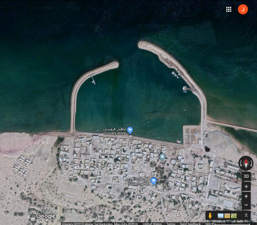
An old fort and small village lie on the N coast of the island; a sandy beach lies 2 miles W of the village. A light is shown from the N end of the island. Between the village and the low sandy point on the N coast, anchorage can be obtained about 0.5 mile offshore and 0.3 mile from the edge of the drying sands, in a depth of about 24m.
Off the village the bottom is rock, and in this vicinity the coastal reef extends about 183m offshore. The anchorage is sheltered only from the shamal and is not recommended. Many anchored vessels, a significant number of which are conducting bunkering operations, can be found off the E and N coasts of Jazireh-ye Larak.
Larak was identified by William Vincent (p. 348) with ancient Organa, a rugged and deserted island (Arrian, Indica 37.2; Ptolemy, 6.7.47; Pauly-Wissowa, XVIII/1, cols. 1022-23); cf. Turgana [Amm. 23.6.47]; Orgina [Schnetz, ed., Ravannatis Anon. Cosmog. 5.17]), but most scholars have identified Organa with Hormuz. According to Strabo, following Nearchus and Orthagoras, the island of Ogyris (Strabo, Geog. 16.3.5 and 7; Pauly-Wissowa, XVII/2, cols. 2080-82), 2,000 stadia from Carmania, was the burial place of the eponymous Erythras (of the Erythraean Sea, according to ancient legend), who ruled in that region as king. Paul Goukowsky (p. 122, n. 54) suggested that Ogyris might have been Larak. A more convincing ancient identification, first suggested by Wilhelm Tomaschek (p. 47), is with the island of Agedana mentioned by Heracleota Marcianus (p. 22), of which it is said: [From the river Cathrapis] to the mouths of the river Corius 700 stadia. Off this coast lies an island called Agedana [Sagdana?], in which much red-lead is produced. This recalls the presence of hematite or specular iron ore on the island noted in the 19th century.
The island appears as Laraque, Larequa, Lareca, and Careca in Portuguese sources. During the siege of Hormuz by Portuguese admiral Alfonso de Albuquerque, one of his four ships was deployed to guard Larak, as it was the main source of sweet water for the Portuguese squadron due to the fact that the wells of Qeshm had been fouled with rotten sardines (Campos, p. 160, n. 39). It appears for the first time on a Portuguese map dated to about 1510 and attributed to the cartographer Pedro Reinel. This probably incorporates intelligence gathered during the first expedition to Hormuz in 1507 (Biedermann, p. 58). It also appears on the Bartolomeu Velho (1560) and Lázaro Luís (ca. 1563) maps (Loureiro, p. 136).
A small, nearly square fort with four bastions was built close to the beach, on the north side of Larak, by the Portuguese, possibly in the late 1550s. Based on structural similarities with the modifications carried out on the larger fort on Hormuz in 1559-60, the Larak structure has been tentatively attributed to the military architect Inofre de Carvalho (Campos, pp. 153-54, 160). Although it does not appear in the Livro das plantas das fortalezas, written between 1633 and 1641 (Silveira, ed., pp. 11-13), the Larak fort is shown on an English Admiralty chart of 1820, where it is misidentified as a Dutch fort (Stol, pp. 25-26 and n. 84). Indeed, when Edward Stack visited Larak in 1881, he noted that A village and an old Dutch fort of small dimensions stand on the northern shore (Stack, pp. 20-21).
By the end of the 19th Century, on the Persian shores of the gulf the islands of Kisim, Hangam, Hormuz (Ormus), and Larak were habitually held in lease by the imam of Maskat (Muscat).
|
NEWSLETTER
|
| Join the GlobalSecurity.org mailing list |
|
|
|