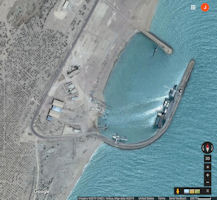
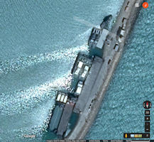
Bandar-e Lengeh (26°33'N., 54°53'E.)
Bandar-e Lengeh (26°33'N., 54°53'E.) consists of many formerly well-kept houses standing on a narrow strip of foreshore which is clearly visible in the forenoon. A conspicuous tall minaret, painted in yellow with a green top, stands at the SW end of town. Also prominent are a white water tower and radio masts marked by obstruction lights. 13.38 Anchorage can be taken, in 10.1m, good holding ground of clay, about 0.5 mile SE of the customhouse. Small craft can anchor closer inshore, in depths of 7.9m. The anchorage is sheltered except from the squalls, which raises a heavy sea. A conspicuous stranded wreck lies about 5 miles E of the town.
Between Kuh-e Bostaneh and the hills NW of Bandar-e Lengeh, the land rises in a gentle slope from the coast to a height of about 91m, but then falls in cliffs to the S edge of the low plain between that mountain and Jabal Lengeh. Grubb’s Notch (26°50'N., 55°00'E.) is a prominent mountain of the range with a saddle-shaped summit 900m high. Jabal Lengeh, a conspicuous mountain, which rises to a.height of 1,190m, stands 12 miles W of Grubb’s Notch. This eminence is light brown in color, appears dome-shaped, and is visible 45 miles on a clear day. 13.37 The terrain between this mountain and Kuh-e Bostaneh, about 19 miles SSW, is an extensive plain which becomes swampy after rains.
|
NEWSLETTER
|
| Join the GlobalSecurity.org mailing list |
|
|
|


