

Turpan 43°01'42?N, 89°06'12?E
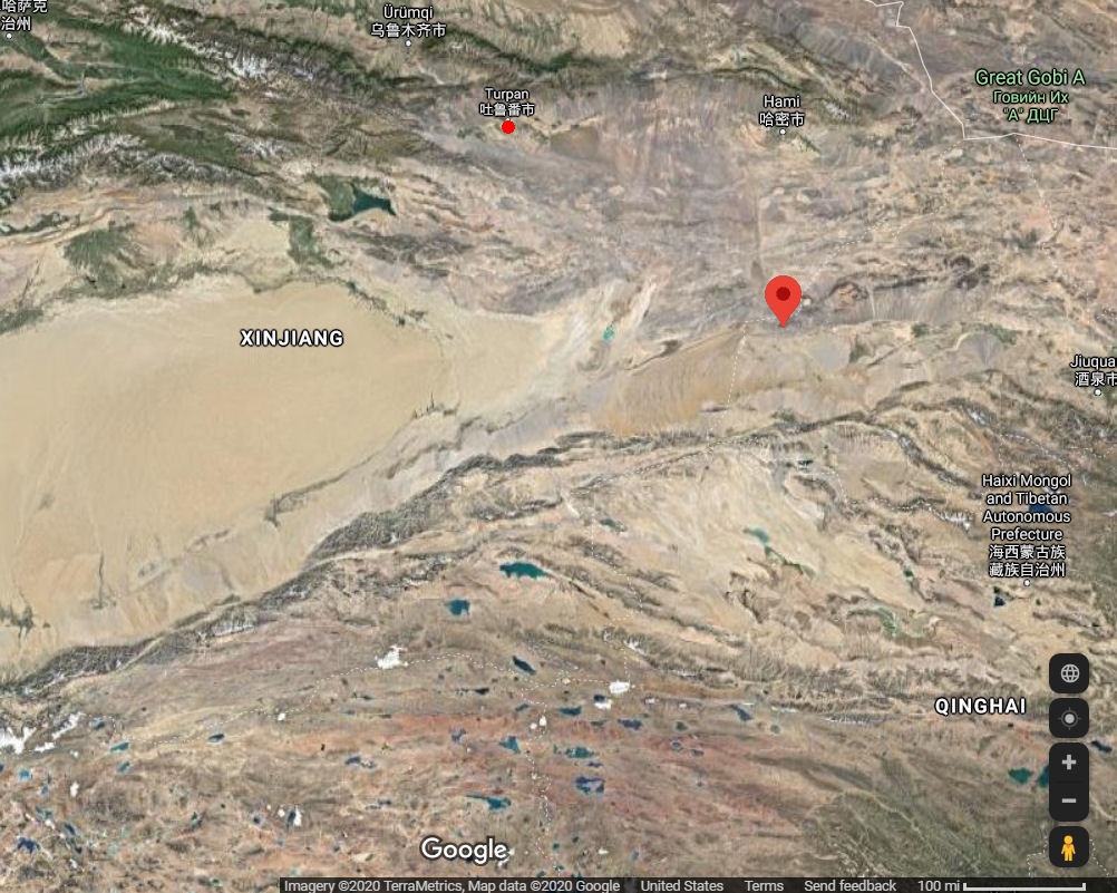
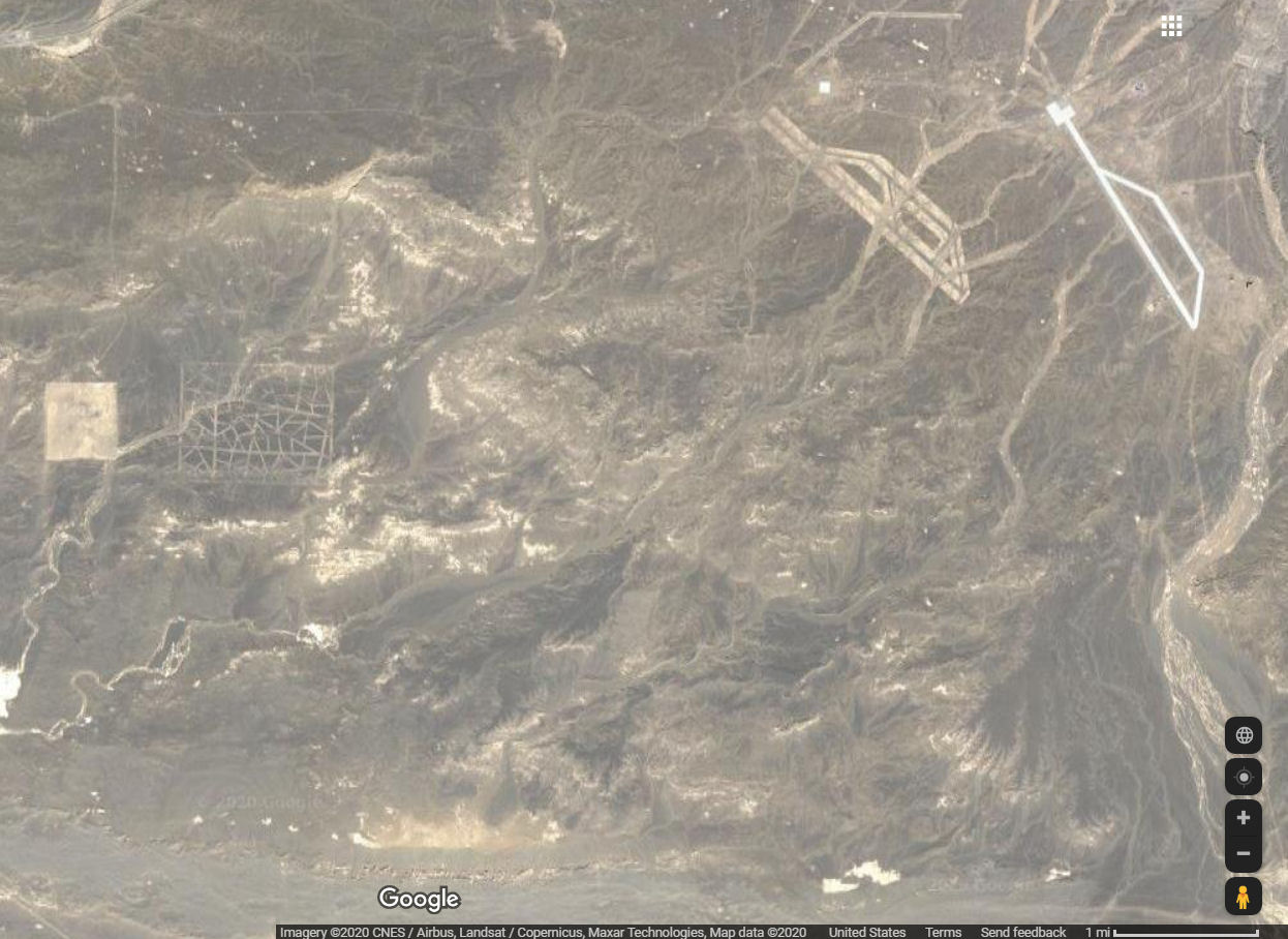
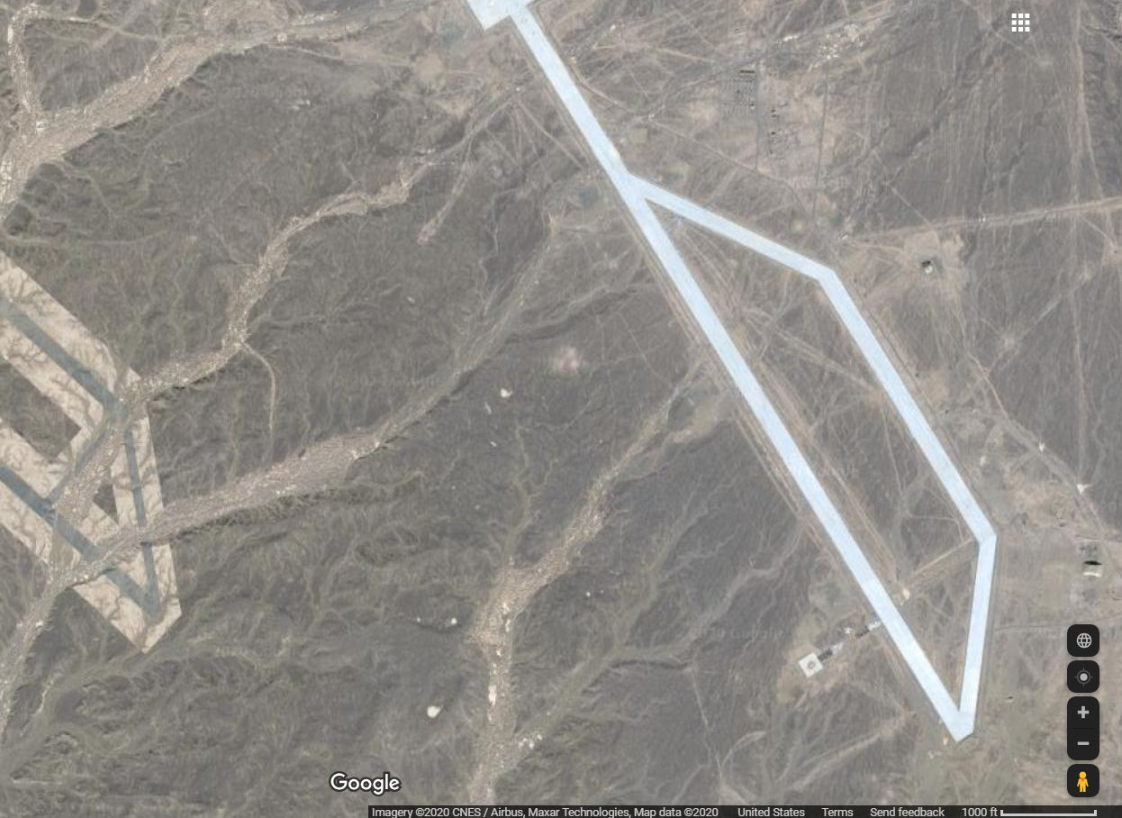
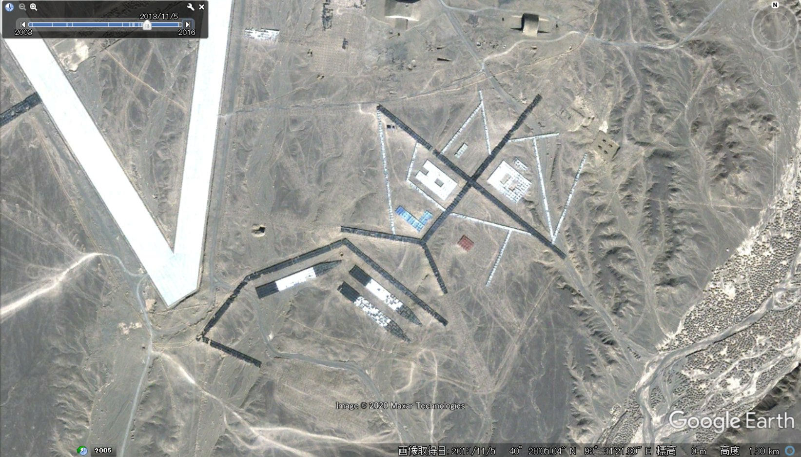
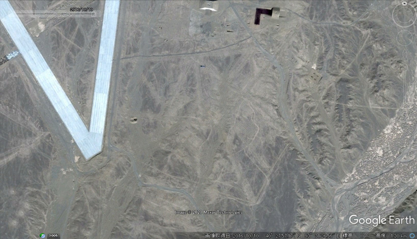
Test range 40°27'57?N, 93°31'27?E
One of the major obstacles along the Silk Road was the Taklamakan Desert, which has one of the world's most inhospitable climates. Caravans skirted this oval-shaped impediment by going around either the northern or southern edges. Turpan was located on the northern route. Turfan, Chinese (Pinyin) Tulufan or (Wade-Giles romanization) T'u-lu-fan, officially and Uighur Turpan, city, north-central Uygur Autonomous Region of Xinjiang. The oasis at Turpan, located in the desert expanse of northwestern China (PRC), owes it surprisingly lush green environment to the karez (a.k.a. qanat) system of water supply. The Turpan oasis irrigation system ranges among such feats of Chinese engineering art as the Great Wall of China and the Grand Canal.Turpan airport was first founded in the 1950s, suspended air in 1985, and in 2008 officially relocated Turpan airport. Turpan airport was built into a high standard airport. Turpan airport is located in the northwest Turpan city, 13 kilometers from Turpan city, 188 kilometers away from Urumqi city (the air distance is 164 km). S202 provincial highway (2.6 kilometers) is in the east, south by G312 national highway (3.1 km), and adjacent to the new railway station (linear distance 480 meters), is located in the Turpan area of Jiaohe logistics port. Its geographical position is superior, the transportation is convenient.
As the Turpan region economy and tourism is in the rapid development, the demand for air transport market is bigger and bigger, under the support of national approval of the national development and reform commission, the civil aviation administration and the autonomous region.
Turpan (Turfan) County in the Turpan Depression in Xinjiang (Sinkiang) Province is an unusual example of the massive effort to improve agricultural production. The Turpan Depression drops to more than 500 feet below sea level. It is a place of intense heat in summer, fierce winds, and virtually no rainfall. It was once known as the land of fire. For the summer months the temperature averages about 104 degrees and often goes as high as 116 degrees. The ground surface temperature reaches 160 degrees. Rainfall averages one-third of an inch per year, but the annual evaporation rate is about 75 inches. The winds are so strong that in the past crops have simply blown away. In this inhospitable environment of aridity, sand, and wind, selfhelp programs have been organized to fight the sand dunes and the wind, and to create a prosperous agriculture and new industries.
The leader of the Forward Brigade of the Five Star People's Commune described how windbreaks were built to protect the land from wind and drifting sand. Windbelts composed of 10 rows of poplar trees in five tracks with irrigation ditches between have been planted under a long-term program started in 1964. The main wind barrier was three kilometers long with about 400,000 trees. Two other similar belts of trees have been completed and two more are planned by the brigade. Within the belt fruit trees and grapevines have been planted. In addition, there are lesser belts around individual plots of cultivated land. Altogether in the Turpan area some 850 miles of windbreaks have been established.
The key to local agricultural success has been the increased availability of water. This has been brought about by three methods. First, the people of Turpan built 400 miles of canals to tap the waters of distant snow-covered mountains. Second, they dug some 600 traditional wells. The third method is by what is called the "Karez Well," a system consisting of a series of wells sunk to an underground water flow which starts at the foot of the distant snow covered mountains with the wells decreasing in depth as they approach the agricultural area. This ingenious system is designed to keep the ground water from being dissipated in the sand. There are about 500 Karez Wells in Turpan County, all interconnected with the canals.
Turpan County covers 4,000 square miles, with 50,000 acres of cultivated land. The population of 139,000 lives in ten towns, seven communes, and one state farm. Until about ten or so years ago, the sand drift in Turpan was so relentless that houses and villages were sometimes buried and many people forced to move from their homes. The drifts have now been blocked. Over 1,000 sand dunes have been leveled and turned into productive farm land. The sand drifts and dunes have been controlled by windbreaks, flushing, manual spreading and tractors. Sand has been carried away to improve barren land and the composition of the soil elsewhere.
|
NEWSLETTER
|
| Join the GlobalSecurity.org mailing list |
|
|
|