

CHAPTER 2
TOPOGRAPHIC SYMBOLS
This chapter illustrates and explains the topographic symbols used on military maps of all scales. The symbols are in general the same for all categories, but because of differences in use and scales, certain symbols are modified or omitted on medium-and small-scale maps.
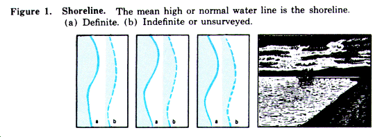
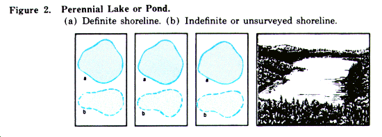
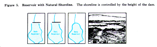
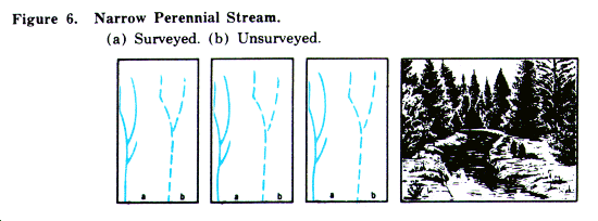
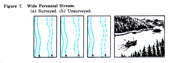
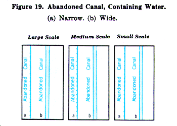
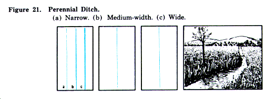
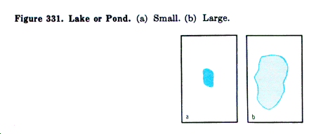
a. A perennial feature contains water during most of the year.
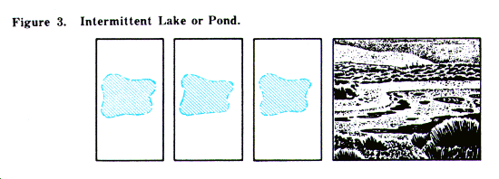
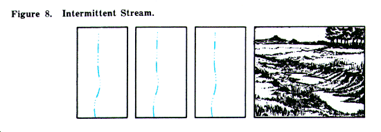
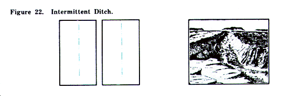
b. An intermittent feature contains water during only part of the year. The shoreline of an intermittent lake or pond is represented as indefinite and approximate.
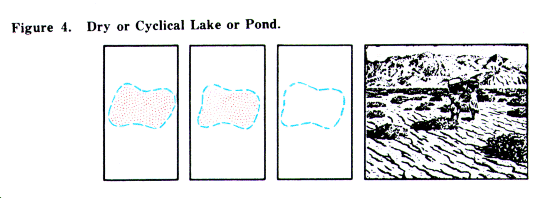
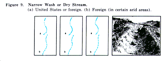
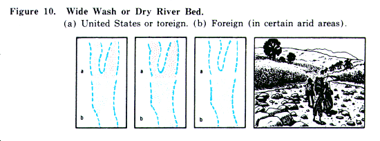
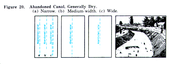
c. A dry or cyclical feature or a wash is usually dry. The limits of such features are represented as indefinite.
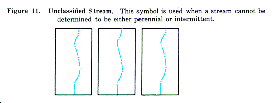
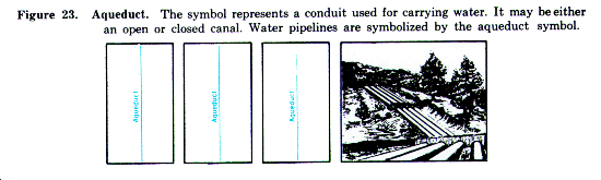
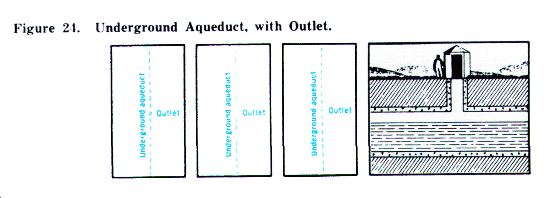
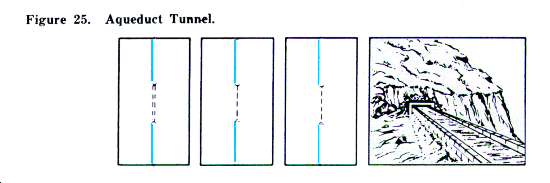
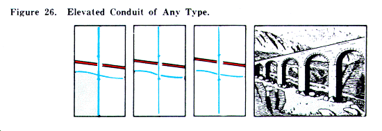
d. Symbols. The following contain the approved symbols for drainage features:

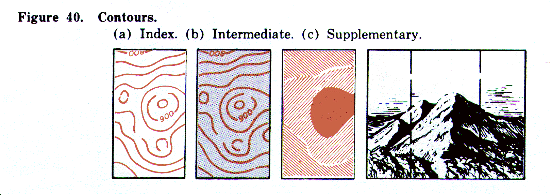
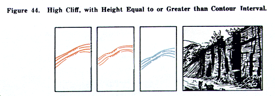
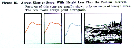
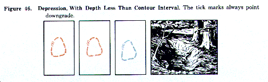
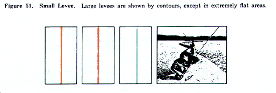
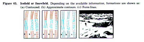
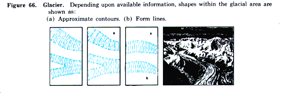
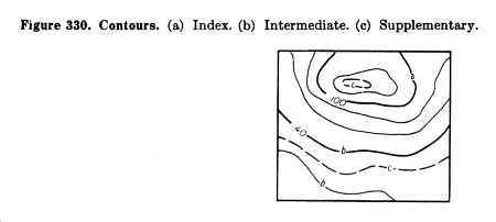
a. Methods of Showing Relief. Depending upon the accuracy of information, the shapes of the terrain are shown on a map by lines representing contours, approximate contours, and form lines. Any one or all of these methods may be used on a single map. On medium-and small-scale maps, significant relief features may be shown by hachures when available data are insufficient to warrant the use of contours. On large- and medium-scale maps, the lines usually are printed in brown. Also, on medium-scale maps, hill shading usually is added over the brown lines, to print gray. This creates a three-dimensional effect and permits a ready appreciation of the terrain, since the hills and ridges stand out much as they would on a relief map. On small-scale maps the contour lines usually are printed in gray. Normally, on small-scale maps, the contours are supplemented by layer tints. A key box on each map indicates the elevation bands and their corresponding tints.
b. Units of Measure. Except in the United States and a few other countries where the foot is the standard unit of measure, the elevations on military maps are in terms of the meter (39.37 inches or 3.28 feet).
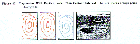
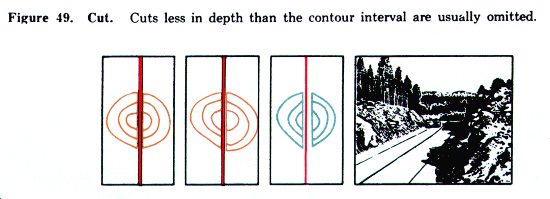
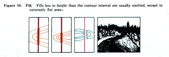
c. Contours. Relief normally is shown by contour lines. A contour line on a map represents an imaginary line on the earth's surface, all points of which, within permissible tolerances, are of the same elevation above a fixed datum, usually mean sea level. To aid the map user, every fifth contour is a heavier line. These are commonly referred to as index contours. The remaining contours are called intermediate contours. In certain areas on a map, the normal contour interval is sometimes too large to present significant topographic formations correctly and supplementary half-interval contours are added. On small-scale maps, index contours are shown by using layer tints.
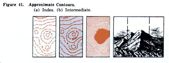
d. Approximate Contours. Whenever there is any question as to the reliability of the source material or of the survey, approximate contours are substituted for normal contours. An approximate contour on a map represents an imaginary line on the earth's surface, all points of which are estimated to be of the same elevation. As with normal contours, a distinction is made between index, intermediate, and supplementary contours.
e. Contour Intervals. Contour lines are drawn on a map at definite elevation intervals. Using a given contour interval, the lines are far apart in flat areas and close together in hilly areas. Consequently, to present the best picture, the size of the contour interval used varies with the nature of the terrain, although normally a contour interval is constant in a series of map sheets. On sheets where the relief is generally flat or gently rolling, a smaller contour interval is used than on sheets where the relief is generally hilly. Scale also affects the contour interval; if the contour interval on a 1:25,000 scale map were 5 meters, for example, the interval used on a 1:50,000 map covering the same area would be 10 meters.
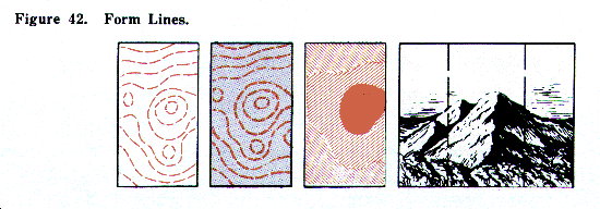
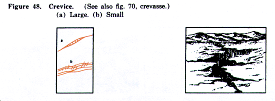
f. Form Lines. When available information is insufficient to warrant the use of either normal or approximate contours, form lines are used. Normally, form lines are used only in areas outside the United States. Form lines collectively portray the general shapes of topographic features, but with little or no reference to a datum plane. They do not present an accurate representation of the terrain, but merely illustrate the general topographic shapes of an area. Since the lines are based on little or no control, their intervals cannot be used to estimate differences in elevations.
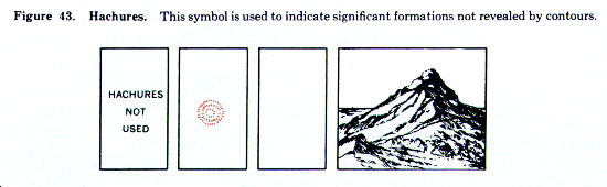
g. Hachures. Hachures are used on medium- and small-scale maps to indicate promontories, where available data are insufficient to warrant the use of normal or approximate contours, but are sufficient to determine the location of the promontories. Hachures also are used in conjunction with normal or approximate, contours to indicate important promontories which would not be properly depicted otherwise, because of the contour interval and the nature of the terrain.
h. Marginal Notes. Before reading relief from the map, the user should determine the contour interval and the nature of any other methods used to show relief. This information is found in the margin of the map either in the contour interval note or the layer tint box. Other special notes pertaining to relief are sometimes found in the lower margin. The user should also study the coverage diagram or reliability diagram in the margin to obtain additional evaluation of contour accuracy.
i. Symbols. The following contain the approved symbols for relief features.
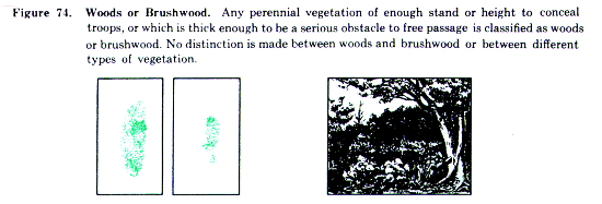
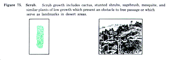
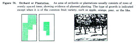
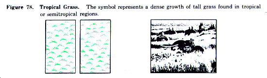
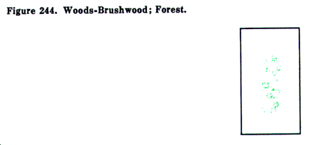
a. General. Although special care is taken in mapping woodland cover, vegetation in many areas is subject to rapid growth or to elimination by cutting or burning. Before using the map, the user should determine the last date of information of the map (found in the notes in the lower left margin) and gage the reliability of the woodland information accordingly. The symbols used indicate such features as cover suitable for the concealment of troops, obstacles to free passage, and landmarks in areas bearing little vegetation. On small-scale maps, particularly the 1:1,000,000 scale, the vegetation is usually omitted entirely.
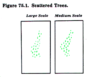
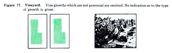
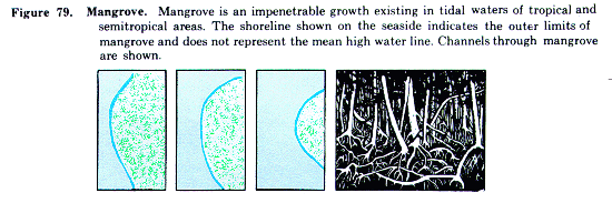
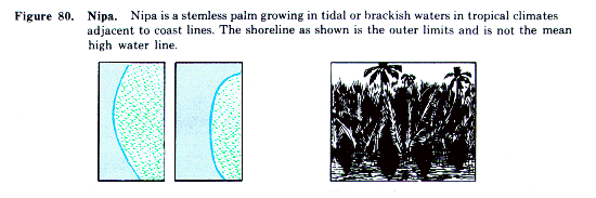
b. Growths Shown. Only perennial types of growth are mapped. Isolated trees and low scattered growths usually are omitted. Small clumps of growths are usually omitted, except where they serve as landmarks in areas of little woodland cover. Small clearings usually are also omitted. In certain areas, the limits and types of growth are fairly constant. In such cases, a distinction may have been made on the map between deciduous, coniferous, and brushwood growths. In many other cases, lack of information and the changing nature of growths make it impractical to make such a distinction.
c. Continuous Cover. The presence of a vegetation symbol does not necessarily mean that the area is completely covered. Depending upon the area, growth having as little as 20 to 35 percent canopy cover is symbolized as continuous.
d. Symbols. The following contain the approved symbols for vegetation features.

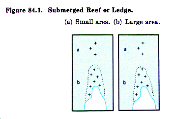
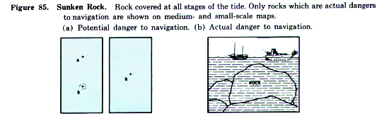
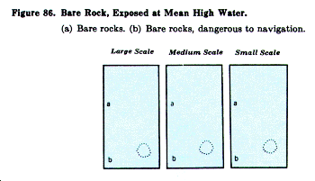
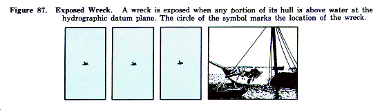
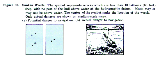
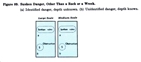
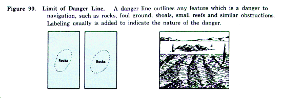
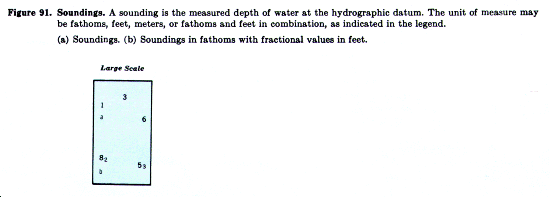
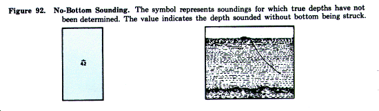
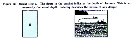
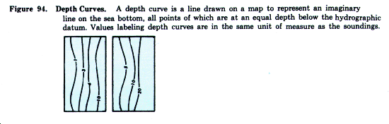
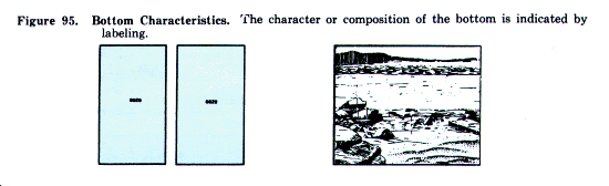
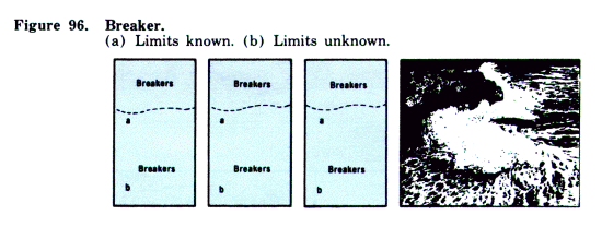
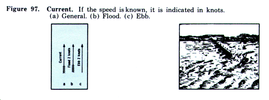
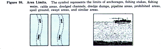
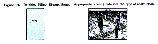
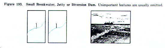
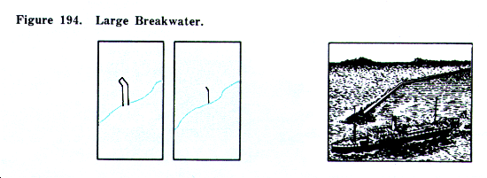
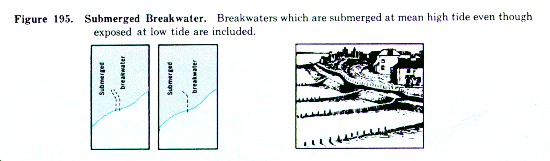
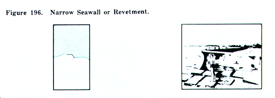
a. General. Coastal hydrographic features and notes pertinent to those features usually are shown on all sheets showing navigable waters. Sheets showing land areas bordering on inland bodies of water, such as lakes, contain only offshore data. Sheets showing land areas bordering on oceans, seas, bays, or similar bodies of water contain both offshore and foreshore data.
b. Definition of Coastal Terms (fig. 82).
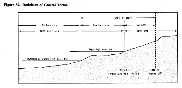
(1) Coastal hydrographic features. All features within the foreshore and off-shore areas, including permanent cultural and natural features which affect the navigability of the area.
(2) Foreshore area. That area which is bare or awash at the hydrographic datum (low water) but which is covered at mean high water.
(3) Offshore area. That area which is covered at the hydrographic datum.
(4) Hydrographic datum. That stage of low tide to which depths are referred. This varies somewhat in different parts of the world.
c. Symbols. The following contain the approved symbols for coastal hydrographic features.

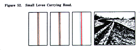
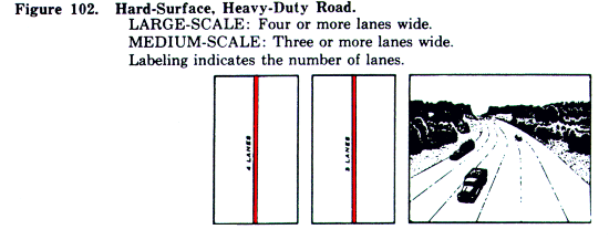
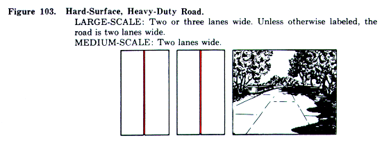
13. Roads in the United States on Large- and Medium-Scale Maps
a. Road Classifications on Large-scale Maps.
Roads within the limits of the United States are classified on large-scale maps as--
(1) Hard-surface, heavy-duty roads.
(a) Four or more lanes wide.
(b) Two or three lanes wide.
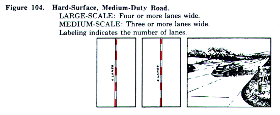
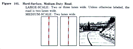
(2) Hard-surface, medium-duty roads.
(a) Four or more lanes wide.
(b) Two or three lanes wide.
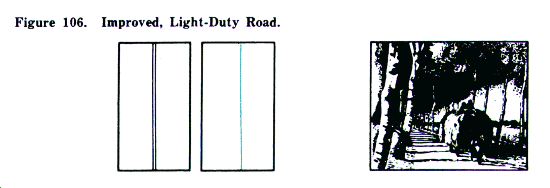
(3) Improved, light-duty roads.
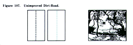
(4) Unimproved dirt roads.
(5) Trails.
b. Road Classifications on Medium-Scale Maps. The classifications on medium-scale maps are the same, except for hard-surface roads, where a distinction is made between roads two lanes wide and roads more than two lanes wide.
c. Hard-Surface, Heavy-Duty Roads. Roads of this classification carry heavy truck loads in all weather with a minimum of maintenance. The construction is usually of portland-cement concrete, bituminous concrete, or sheet asphalt, rock asphalt, bituminous penetration, or mixed bituminous on a heavy foundation. Brick or block roads are also included in this category.
d. Hard-Surface, Medium-Duty Roads. These roads carry medium-heavy truck loads in all weather. Occasional maintenance is required. Construction is usually a bituminous-penetration or mixed-bituminous surface, or bituminoustreated surface on a light foundation.
e. Improved, Light-Duty Roads. These roads carry light loads in all weather. Periodic maintenance is usually necessary. Construction consists of stabilized or oiled-surface gravel or stone, graded and drained gravel or stone, or graded and drained soil surface. Included in this category are hard-surface roads less than two lanes wide and improved private roads which normally are not practical for use in rerouting of traffic in emergencies.
f. Unimproved Dirt Roads. These roads are suitable only for light loads in dry weather. They are without surface improvement and are seldom maintained. Included are abandoned roads, fire roads, and lumber roads.
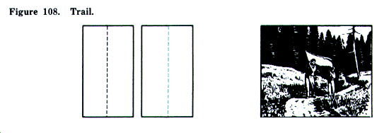
g. Trails. The map shows important foot paths, foot trails, and pack trails which can accommodate ¼-ton trucks in dry weather. Minor and short connecting trails usually are omitted.
h. Symbols. The following contain the approved symbols for roads in the United States.

14. Roads in Foreign Areas on Large-and Medium-Scale Maps
a. Road Classifications. Roads outside the limits of the United States are classified on both large-and medium-scale maps as--
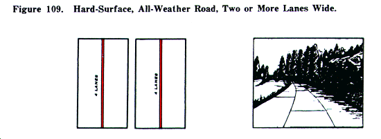
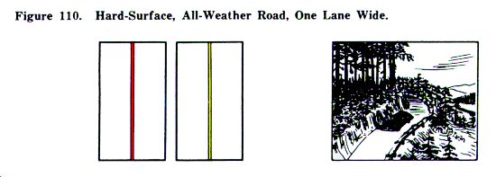
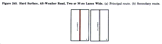
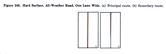
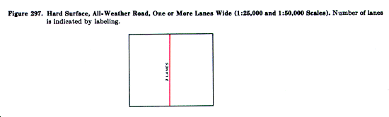
(1) Hard-surface, all-weather roads.
(a) Two or more lanes wide.
(b) One lane wide.
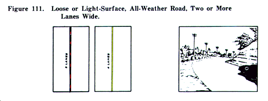
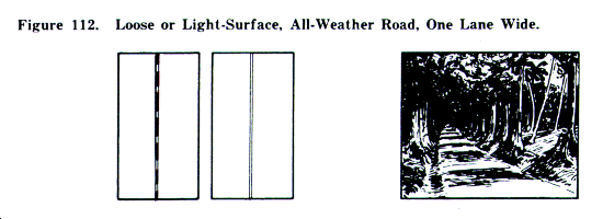
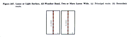
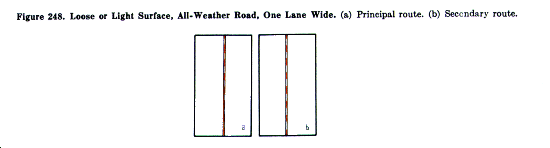
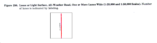
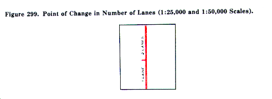
(2) Loose or light surface, all-weather roads.
(a) Two or more lanes wide.
(b) One lane wide.
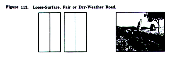
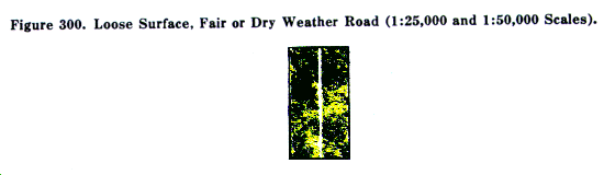
(3) Loose surface, fair-or dry-weather roads.
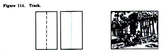
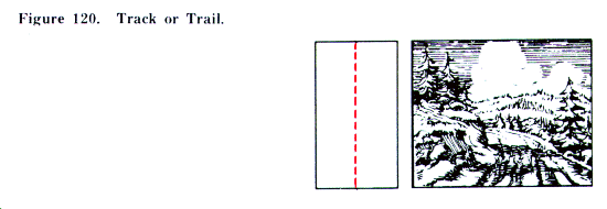
(4) Tracks.
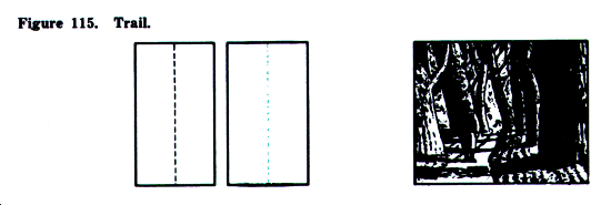
(5) Trails.
b. Hard-Surface, All-Weather Road. These roads carry fairly heavy truck loads in all weather. Minimum maintenance requirements are periodic inspection and repair. The construction is usually concrete or asphaltic concrete, bituminous macadam, surface-treated oiled gravel, and light tar-bound macadam.
c. Loose or Light Surface, All-Weather Road. These carry light loads in all weather. The roads generally are drained and graded. Periodic maintenance is required. Construction is usually of gravel, stone, or some stable material, such as sand-clay, on a light foundation.
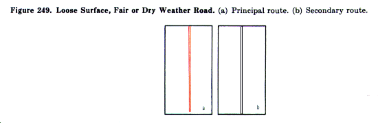
d. Loose Surface, Fair-or Dry-Weather Road. These roads carry light loads in dry weather only. The road may or may not be graded or drained and requires continual maintenance. Any surfacing consists of gravel, or sand-clay with a poor foundation.
e. Tracks. Tracks include winter roads, caravan routes, and natural roadways and can accommodate very light vehicles, such as ¼-ton trucks, in dry weather. Tracks are normally shown only in areas having poor road systems.
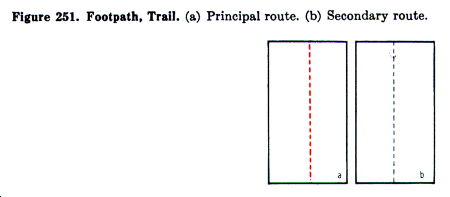
f. Trails. Trails include important foot trails, foot paths, and pack trails. Minor trails and unimportant connecting trails are omitted. In areas with good road systems, tracks are included in this category.
g. Symbols. The following contain the approved symbols for roads in foreign areas.
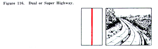
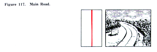
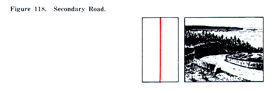
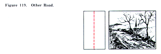
a. Road Classifications. Roads on small-scale maps are classified as--
(1) Dual or super highways.
(2) Main roads.
(3) Secondary roads.
(4) Other roads.
(5) Tracks or trails.
b. Main Roads. Main roads are those which serve as the main thoroughfares between the important populated places of an area. Well alined roads of a substantial width and surface which connect a number of populated places, and cross-country roads which form a direct route connecting with roads and trails leading to important features are included in this category. Main roads are generally hard-surfaced except in areas with poor road systems.
c. Secondary Roads. Secondary roads include those roads connecting the minor cities and towns of an area. A road connecting two main roads, at least one of which is higher in classification than the connecting road, is included in this category. In comparison with main roads, secondary roads have less reported use and less substantial construction, and are generally loose-surfaced roads.
d. Other Roads. Included in this category are local community roads serving the villages and settlements of an area. Also included are those connecting roads important to the communications network but obviously of a lower classification than the secondary roads. Such roads may be loose-surfaced or dirt roads.
e. Tracks or Trails. Tracks and trails are symbolized alike. Both normally are shown only in areas of sparse culture where they supply the only means of communication. Minor tracks and trails are omitted. Included in this category are winter roads and caravan routes. Normally, the roadway is natural with little or no improvements.
f. Symbols. The following contain the approved symbols for roads on small-scale maps.

The following symbols indicate features related to roads.
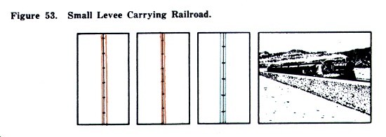
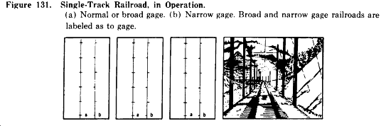
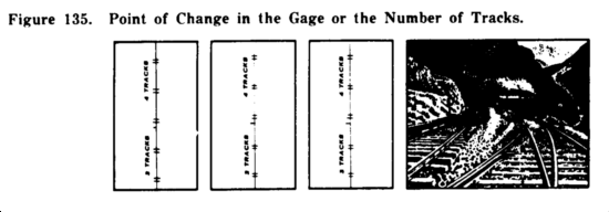
a. Gage.
(1) Normal gage is the gage used on the majority of the mainline railroads of a country. Normal gage in the United States is standard (4' 8½") gage.
(2) Broad gage is any gage greater than the normal gage used in a country.
(3) Narrow gage is any gage lesser than the normal gage used in a country.
(4) Either the symbol legend in the margin or labeling on the map identifies the gage of the railroads.
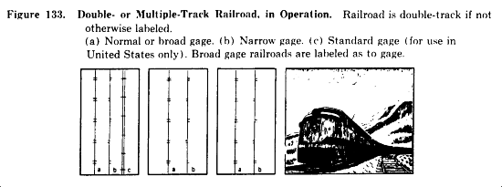
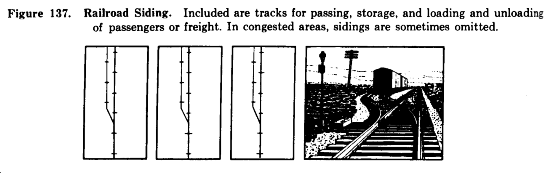
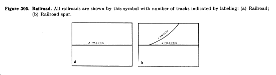
b. Multiple-Track Railroad. A multiple-track railroad contains three or more mainline tracks paralleling each other. The number of tracks of a multiple-track railroad is indicated by labeling placed parallel to the symbol.
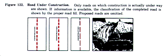
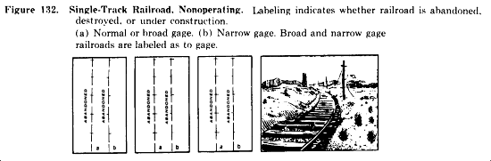
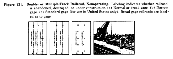
c. Nonoperating Railroad. A nonoperating railroad is one not in use. Included in this category are railroads under construction, abandoned railroads, and destroyed railroads. Labeling placed parallel to the symbol indicates whether the line is abandoned, destroyed, or under construction.
(1) An abandoned railroad is one which is no longer in use, but the ballast, bridges, and tracks remain in major part and could be put into limited or full operation with a minimum of repair.
(2) Only those railroads on which actual work is under way are symbolized as under construction. Proposed lines are not shown. An operating line some times has additional tracks under construction. The symbol for the operating line is shown with appropriate labeling to indicate the construction.
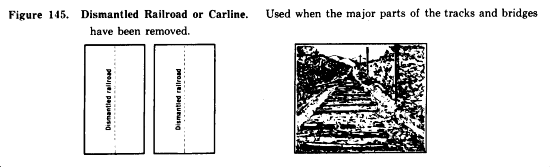
d. Dismantled Railroad. A dismantled railroad is one which is no longer in use and which has the major part of its tracks and bridges removed. If the right-of-way is being used as a road only, the proper road symbol will be shown. If there is no road and the feature is of landmark importance, it is symbolized by a dashed line and labeled.
e. Electrified Railroad. Electrified railroads are shown by the proper symbol indicating the gage and number of tracks, with the word Electrified added parallel to the symbol.
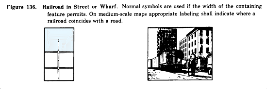
f. Developed Areas.
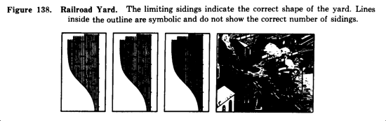
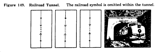
(1) Minor line and sidings sometimes are omitted in congested areas. Through lines are always shown.
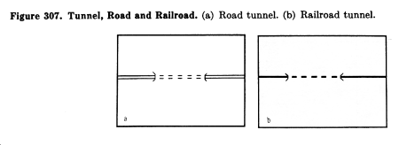
(2) Railroads which run underground for long distances in a city are not shown. The dashed lines indicating tunnels are omitted. Only the headwalls and wings of the tunnel entrances are shown.
(3) Rapid transit lines, when located in subways, are not shown. They are shown by the appropriate railroad symbol when located in open cut, on the surface, or on above-surface structures.
g. Symbols. The following contain the approved symbols for railroads and related features.

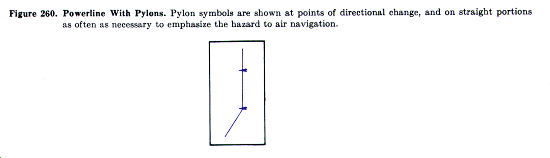
18. Features Related to Communications
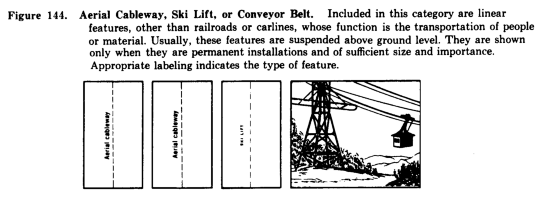
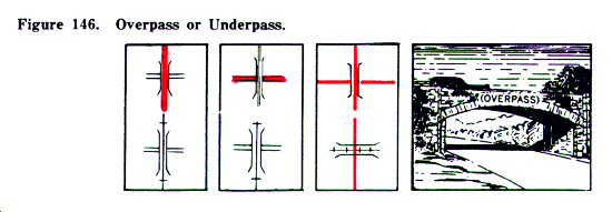
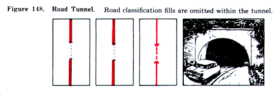
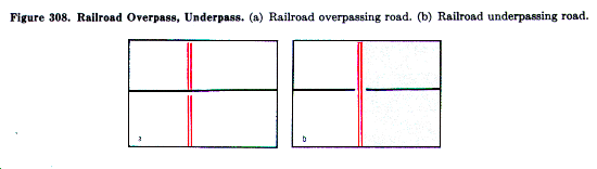
a. Overpasses and Underpasses. On large-scale maps, overpasses and underpasses normally are shown wherever they exist. On medium-and small-scale maps they generally are shown only in open areas. An overpass is a short viaduct carrying a road or railroad above the grade of another road or railroad. An underpass is a short tunnel carrying a road or railroad below the grade of another road or railroad.
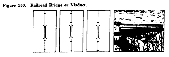
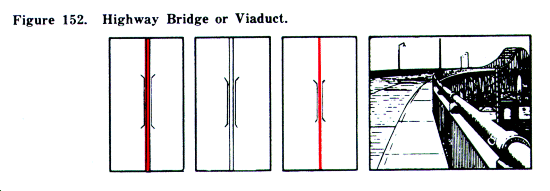
b. Bridges and Viaducts.
(1) The distinction between a bridge and a viaduct is that a bridge passes over what is predominantly water while a viaduct passes over what is predominantly land.
(2) Long bridges or viaducts are always shown. A shorter bridge or viaduct is shown if it serves as an identifiable landmark or is the only means of crossing within the general area.
(3) On long bridges or viaducts, the ends of the symbol appear in their correct locations. On shorter ones, the symbol is merely representative and the ends are not necessarily in their correct locations.
(4) Bridges and viaducts less than 20 feet long normally are not shown except when they are underpasses or overpasses.
(5) When a bridge is used to carry both a road and a railroad on either the same or different levels, the feature is shown by the road-bridge symbol with the railroad shown to the bridge ends. The symbol is labeled "Road and railroad".
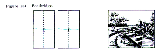
(6) Footbridges are shown only in areas of sparse culture.
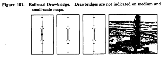
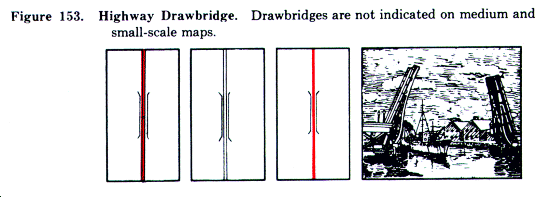
c. Drawbridges.
(1) Drawbridges are structures of which either the whole or part can be raised, lowered, pivoted, or turned aside to allow or to interrupt traffic.
(2) On large-scale maps, the small circle of the symbol is centered on the true location of the center of the movable part of the bridge.
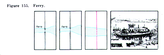
d. Ferries.
(1) Ferries capable of carrying vehicular or railroad traffic normally are shown wherever they exist.
(2) Ferries for pedestrians are shown only in areas of sparse culture or where they provide the only means of water-crossing in the general area.
(3) The dashed line connects the points between which the ferry operates, without regard for the actual navigating course of the ferry.
(4) Steamship lines are not shown.
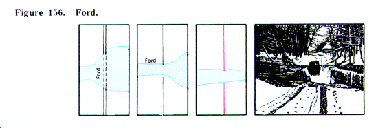
e. Fords. Fords are shown only in areas of sparse culture or where they provide the only means of water-crossing in the general area.
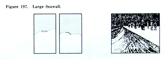
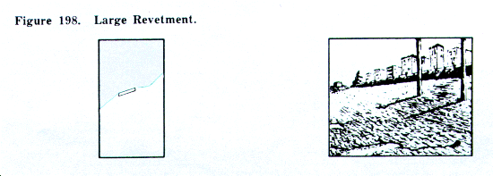
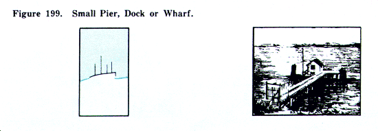
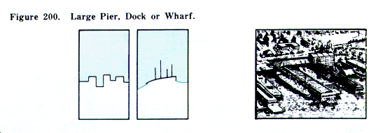
f. Symbols. The following contain the approved symbols for features related to communications.
19. Buildings and Populated Places on Large-Scale Maps
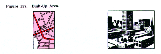
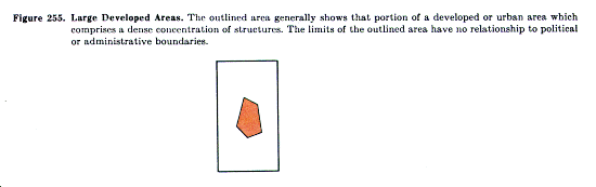
a. Built-Up Areas.
(1) A built-up area is a large continuous area which is developed or is in the advanced stage of development for occupancy by concentrated populations. It usually is laid out in a definite street pattern and normally contains a business or industrial district. Since all buildings cannot be shown individually, the area is indicated by an overall screened red tint.
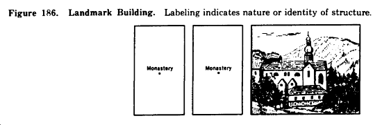
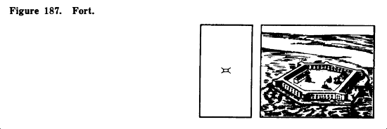
(2) Only landmark buildings are shown individually in built-up areas. These are buildings which are prominent because of size, location, or usage, such as government or public buildings, colleges, schools, churches, hospitals, railroad stations, markets, factories, and buildings of historical or cultural interest.
(3) Within the general outline of the built-up area, individual symbols are used and the built-up area tint is generally omitted for the following features:
(a) Parks and cemeteries equivalent to or larger than one block.
(b) Institutions such as colleges, schools, and hospitals possessing open ground areas equivalent to or larger than one block.
(c) Section with little construction or development if equivalent to or larger than two blocks.
(4) All woodland cover is omitted in built-up areas.
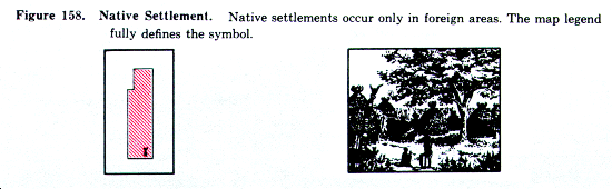
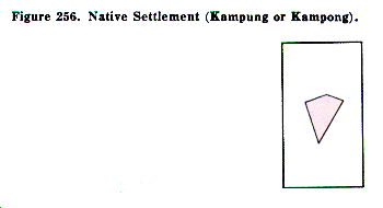
b. Native Settlements. These include native settlements in foreign areas in which the buildings are not usually of permanent construction. Kampongs in southwestern Asia and encampments in western Africa are examples. The symbol legend of the map defines the symbol properly.
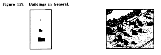
c. Buildings in General.
(1) Conventional symbols are used to show a small building or a small structure similar to a building. The symbol is shown in correct orientation and its center usually coincides with the correct location of the center of the structure.
(2) Buildings and similar structures whose plotted size exceeds the conventional symbols are shown in correct orientation and shape and usually in correct location.
(3) Buildings and structures located along roads are shown in their correct location unless they would then fall within the road. In such cases, the symbol is moved back.
(4) In many cases it is impossible to show all buildings because of congestion. The map retains the general shape and pattern of the area and omits the less important buildings.
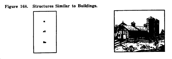
d. Structures Similar to Buildings.
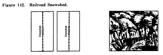
(1) These are features of substantial construction not definable as buildings. In many instances they are roofed, although not necessarily enclosed on all sides. The term includes barns, grandstands, railroad sheds, large open sheds, fruit packing sheds, snow sheds, open-air refineries, and similar structures.
(2) Structures which are smaller than the average dwelling in the locality are not shown.
(3) In foreign areas, when information is unavailable, no distinction is made between buildings and structures similar to buildings.
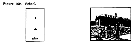
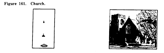
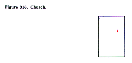
e. Schools and Churches.
(1) When a building is used both as a church and a school, it is symbolized as a school.
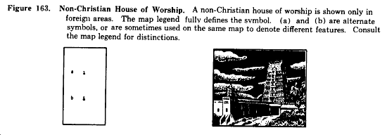
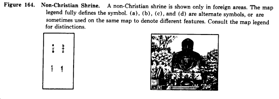
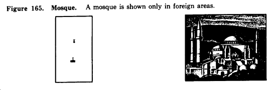
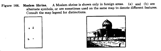
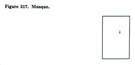
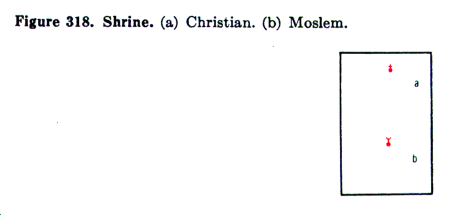
(2) In the United States, the church symbol is used commonly for all denominations. On maps of foreign areas, this symbol usually denotes a Christian place of worship, with other symbols being used to denote places of worship of other sects. In such cases, the marginal symbol legend should be consulted for detailed information.
(3) When a school has numerous buildings, the flag symbol is shown only on the administration building or the most prominent building in the group.
(4) When there are numerous religious buildings in a group, as in a convent or monastery, the cross symbol is shown only on the building used for religious services or the most prominent building in the group.
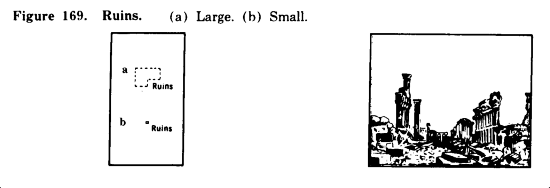
f. Ruins. Ruins are buildings or structures in such a state of dilapidation or decay that they can no longer be used for their original purpose. Ruins which are smaller than the average dwelling in the locality are not shown unless they possess unusual significance.
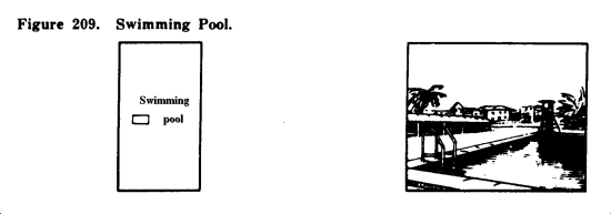
g. Symbols. The following contain the approved symbols for buildings and populated places on large-scale maps.

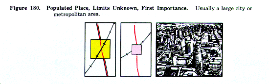
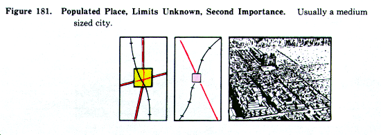
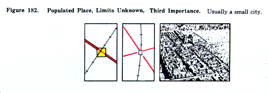
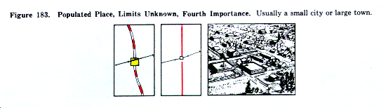
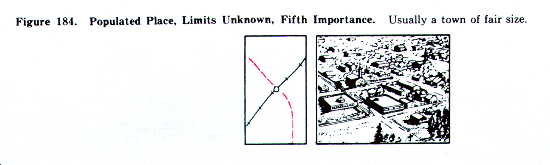
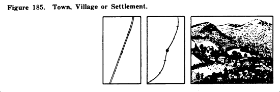
20. Buildings and Populated Places on Medium- and Small-Scale Maps
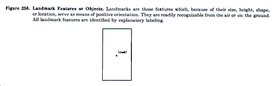
a. Reduced Scale. Because of the reduced scale, it is impossible to show the buildings and populated places on medium-and small-scale maps in great detail. Consequently, the symbols are truly symbolic or representative. The only buildings shown are those which serve as outstanding landmarks in isolated areas.
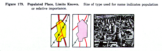
b. Populated Places. A small populated place is shown by a small circle. A larger populated place is shown, generally true to shape, by an outlined and tinted area. Within the outline, the only features usually shown are the mainline railroads and through-route roads. On 1:250,000 scale maps, the tint is usually shown in yellow; on small-scale maps, it is shown in red.
c. Use of Tinted Squares. In many areas, there is insufficient information available to plot the correct outlines of populated places. In such cases, tinted squares of varying sizes are used as symbols, with the size depending upon the population or importance. Explanation of these squares is contained in the marginal legend of the map.
d. Names of Populated Places. The names of populated places are shown in type of varying size, with the size depending upon population or importance. When information is available, the marginal legend shows the different sizes keyed to a population breakdown. When information is not available, the sizes are keyed to an important breakdown.
e. Symbols. The following contain the approved symbols for buildings and populated places on medium-and small-scale maps.

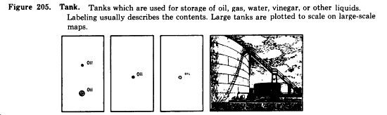
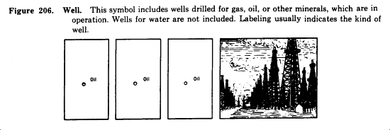
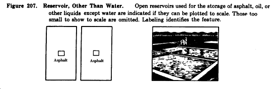
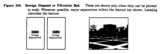
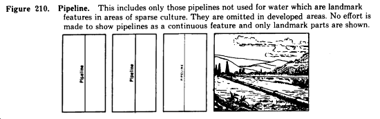
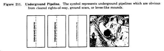
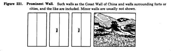
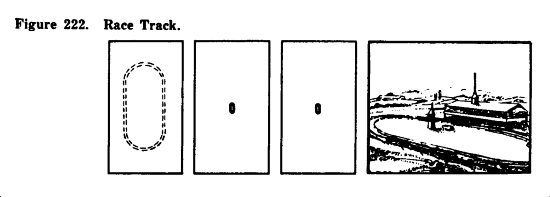
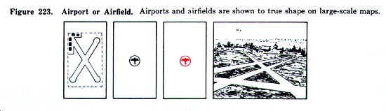
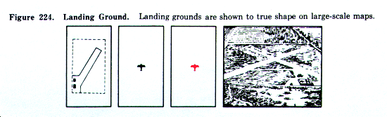
21. Industrial and Public Works
The following symbols indicate the industrial and public works shown at the various scales.

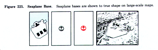
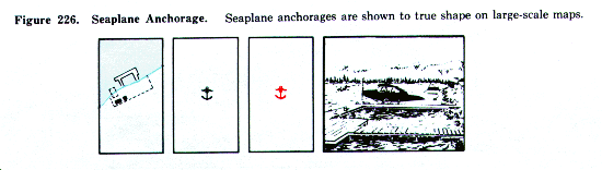
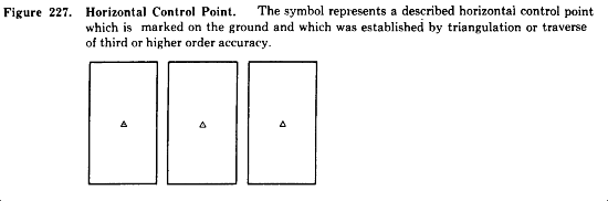
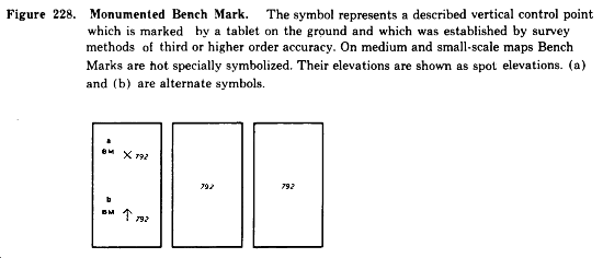
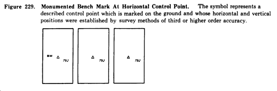
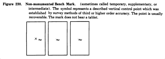
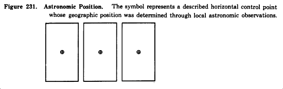
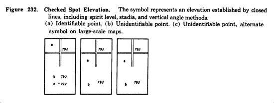
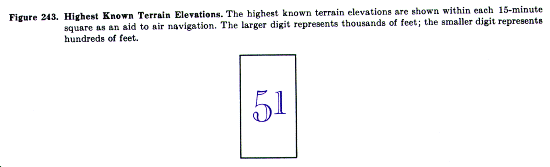
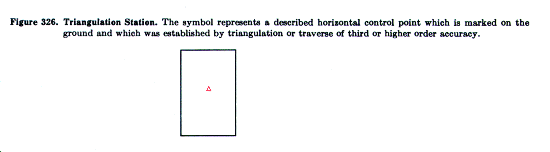
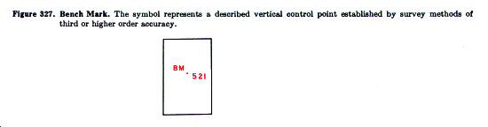
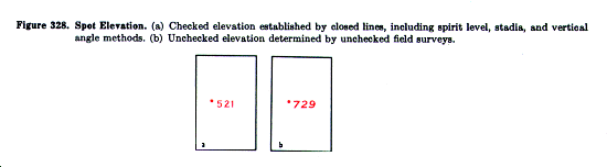
22. Control Points and Elevations
a. Application of Definitions. The definitions of horizontal and vertical control stations which follow are generally applicable only to the United States.
b. Exceptions. In foreign areas, horizontal control stations may not be monumented and in some cases, may be less than third order accuracy. Whenever information is available, exceptions are noted in the marginal legend of the map.
c. Symbols. The following contain the approved symbols for control points and elevations.

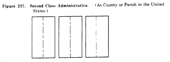
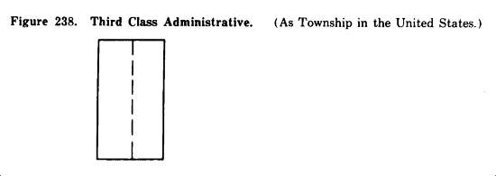
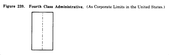
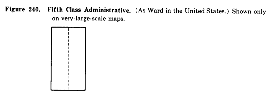
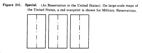
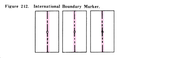
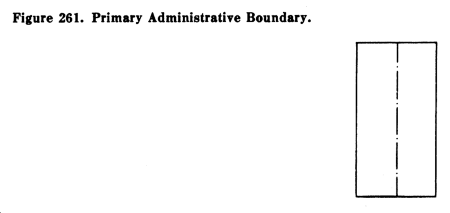
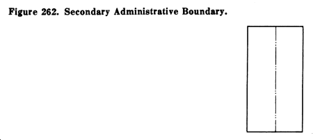
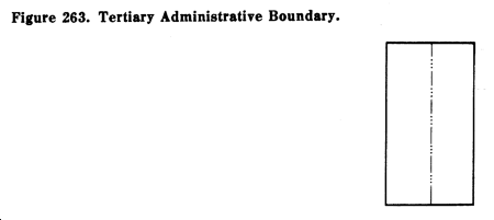
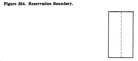
a. Where two or more boundaries coincide, only the symbol representing the higher-ranking boundary is shown.
b. Boundaries which are approximate or indefinite are appropriately labeled.
c. In cases where a boundary follows a road, stream, or river, usually only every third unit of the symbol is shown. The intervening symbol units are omitted, except where the omission would create uncertainty as to the alinement of the boundary.
d. Terminology of boundaries in foreign areas varies; see the map legend for the correct terms.
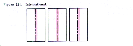
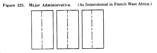
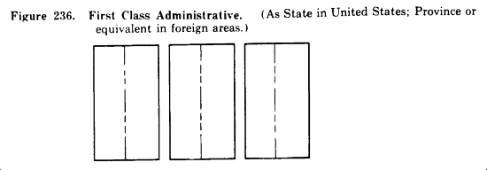
e. The following contain the approved symbols for boundaries.

*23.1 Joint Operations Graphics
a. Purpose and Scope. Joint Operations Graphics are produced in both ground and air versions. The ground version is designated as series 1501; the air version is designated as series 1501 AIR. Both versions are designed to provide common base graphics for use in combined operations by the ground and air forces of allied nations. The topographic information is identical on both the ground and air versions.
b. Unit of Vertical Measure. On the ground version, elevation and contour values are shown in meters. These values are converted to foot units on the air version.
c. Aeronautical Information. Both versions contains identical information regarding aerodromes and obstructions to pilotage. The air version contains additional information concerning aids to air navigation.
d. Shaded Relief. Both versions contain an identical representation of shading, to provide a rapid recognition of slope and landforms. The shading also serves as a means of correlating contours and elevations, with emphasis on the more significant terrain features.
e. Elevation Tints. Both versions contain a representative system of color tints which depict areas of the same elevation range. A key box on each version indicates the elevation ranges and their corresponding color tints.
f. Symbols. The following approved symbols for Joint Operations Graphics are in addition to, or different from, the standard medium-scale symbols shown in figures 1 through 242:
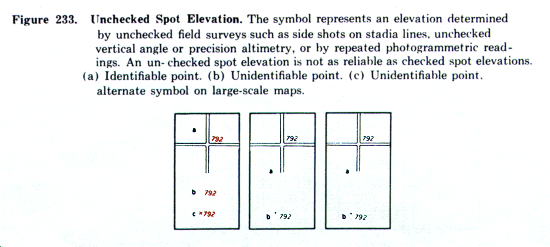
(1) Elevations. The following symbol is in addition to the elevation symbols shown in figures 227 through 233:
(2) Vegetation. The following symbol is different from the medium-scale symbol shown in Figure 74:
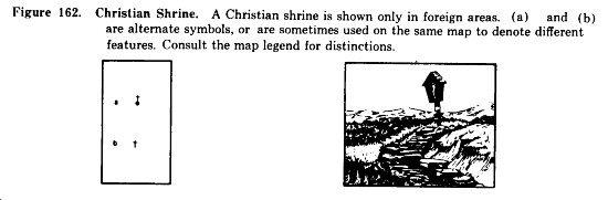
(3) Roads in foreign areas. The following figures show the approved symbols for roads in foreign areas:
*
*
*
*
*
*
*
*
*
*
(4) Populated places and landmark features. The following figures show the approved symbols for populated places and landmark features which are different from, or in addition to, the symbols shown in figures 179 through 222:
*
*
*
*
*
*
(5) The following symbols for boundaries differ from those shown in figures 236 through 241:
*
*
*
*
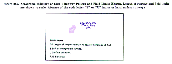
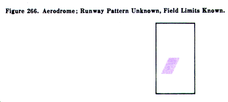
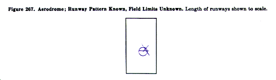
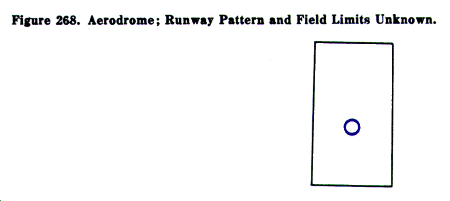
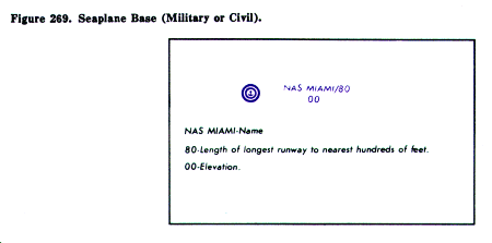
(6) Aerodromes. The following figure show the approved symbols for aerodromes on the 1501 and 1501 AIR Series:
*
*
*
*
*
*
*
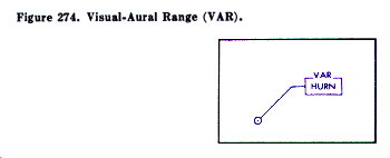
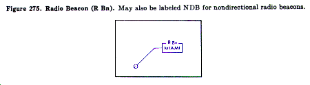
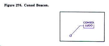
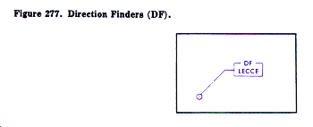
(7) Radio navigation and communication facilities. The following figures show the approved symbols for aeronautical, radio navigation and communication facilities:
*
*
*
*
*
*
*
*
*
*
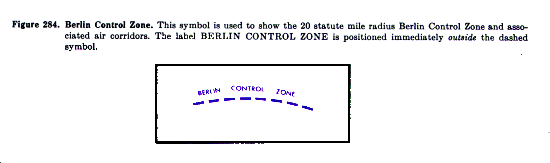
(8) Controlled airspace. The following figures show the approved symbols for controlled airspace identification:
*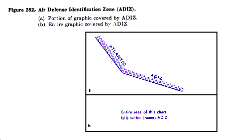
*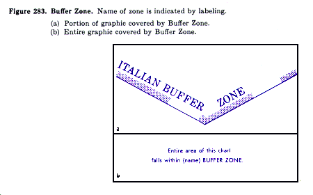
*
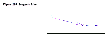
(9) Magnetic variation data. The following figure shows the approved symbol for magnetic variation data:
*
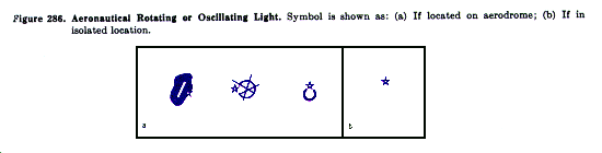
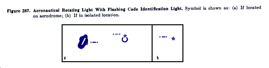
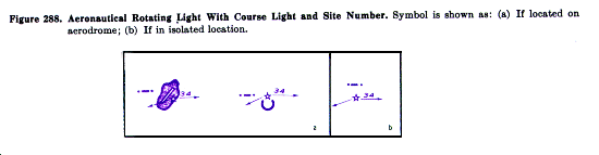
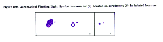
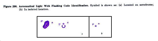
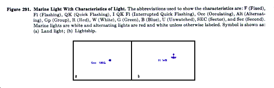
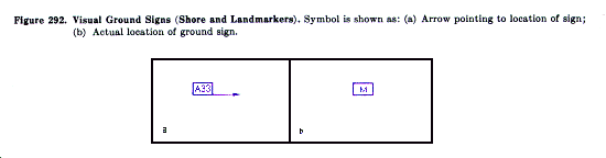
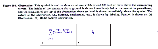
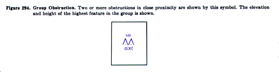
(10) Visual aids and obstructions. The following figures show the approved symbols for visual aids and obstructions to aerial navigation:
*
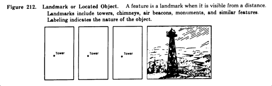
*
*
*
*
*
*
*
*
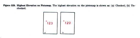
*23.2 Pictomaps
a. A pictomap is a map on which photographic imagery of a standard photomosaic has been converted into interpretable colors and symbols.
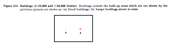
b. The components of the pictomap consist of three basic color tones photographically extracted from a photomosaic, masked and drafted symbols, and names data. At the large scales used for city maps (1:5,000 to 1:12,500) the light tones and shadows on the photographic image serve to delineate many of the map features. At scales of 1:25,000 and 1:50,000, however, most planimetric features are shown by drafted symbols, printed in specified colors.
c. Tones. The three basic color tones used for area features are as follows:
(1) Landtone, a buff-like color tone which represents uncovered earth.
(2) Vegetone, green tones which represent densities of vegetation.
(3) Shadowtone, a black-green tone which represents shades and shadows.
d. Symbols. The following pictomap symbols are different from the standard large-scale symbols shown in figures 1 through 242:
*
*
*
*
*
*
*
*
*
*
*
*
*
*
*
*
*
*
*
*
*
*
*
*
*
*
*
*
*
*
*
*
*
*
*
*
*
*
|
NEWSLETTER
|
| Join the GlobalSecurity.org mailing list |
|
|
|