


Al Taji Army Airfield
| Imagery of the Al Taji Army Airfield |
|
| Click on the small image to view a larger version | |

Overview of the Middle East with Iraq in the center |

CIA Map of Iraq |

Tactical Pilotage Chart of the Al Taji Army Airfield |
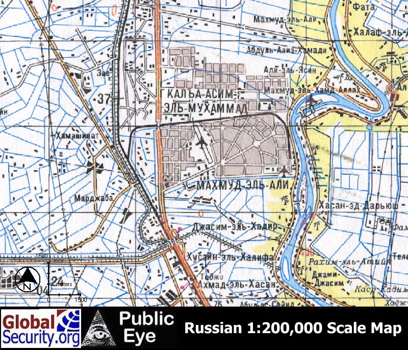
Russian 1:200,000 scale map of Al Taji Army Airfield as of 1985. |

CIB overview Al Taji Army Airfield as of 1995. |
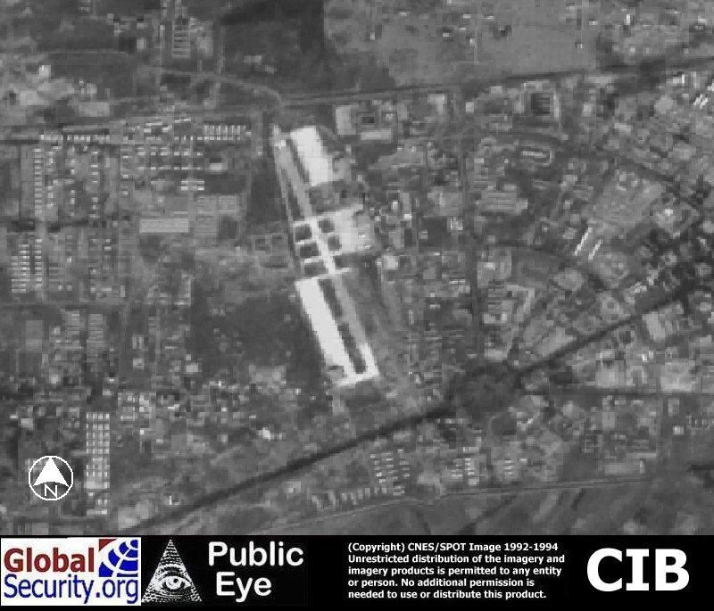
Al Taji is served by a 5,500 foot runway. |
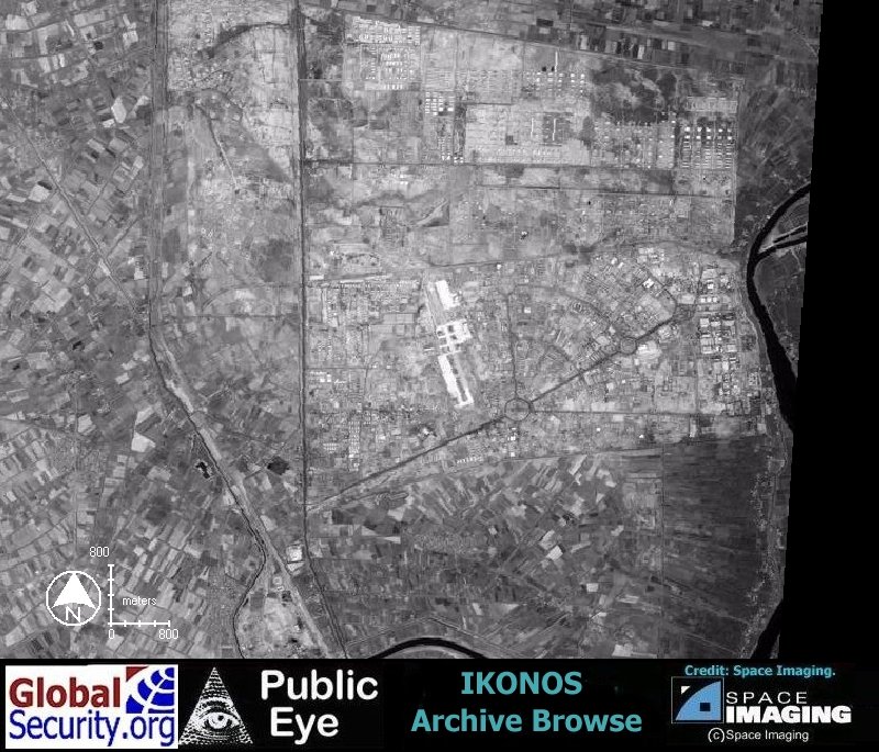
Ikonos browse imagery of Al Taji Army Airfield as of 25 July, 2000. |
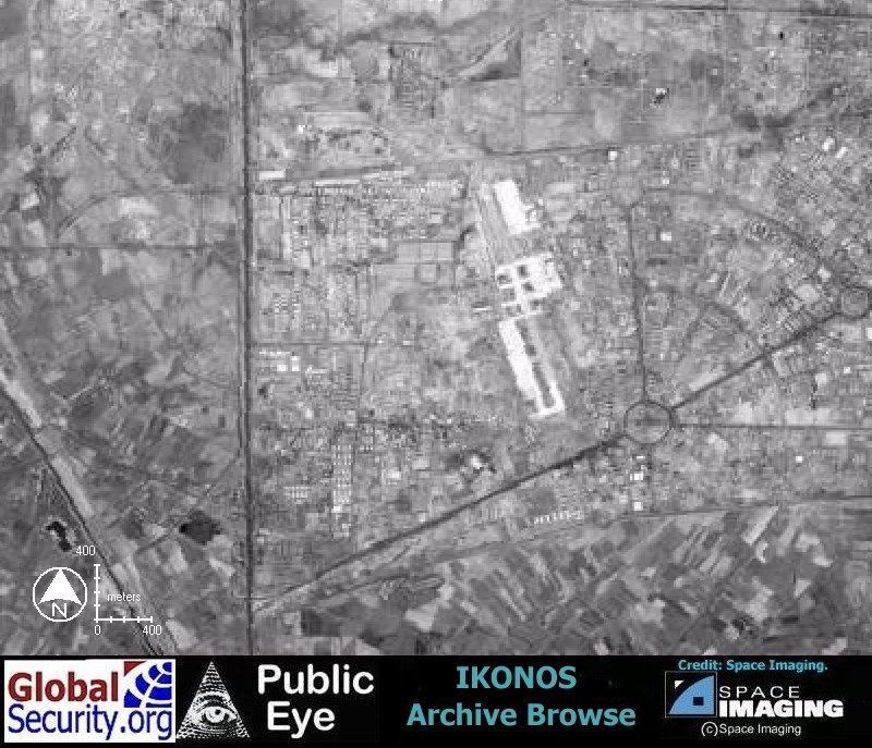
Al Taji is served by a 5,500 foot runway. |

|
|
|
NEWSLETTER
|
| Join the GlobalSecurity.org mailing list |
|
|
|