

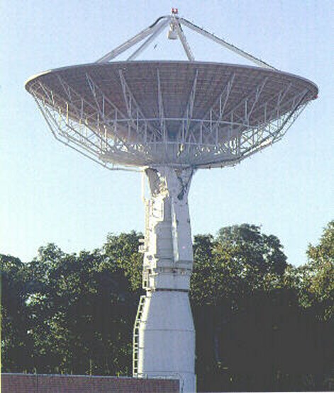
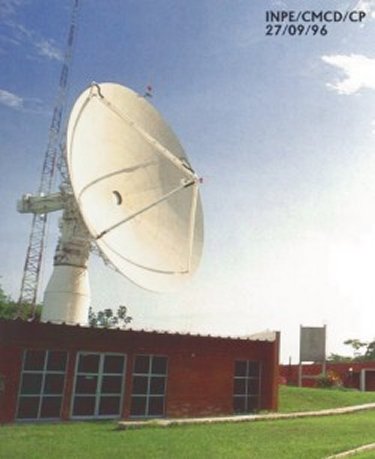
Cuiabá Ground Station (GS) (23°12'S; 45°51'W)
The station located in Cuiabá, capital of the western state of Mato Grosso, is at the geographic center of South America.
The use of satellite images for the assessment of Brazilian natural resources began in the 70's, when INPE and the Ministry of Science and Technology established a receiving station in Cuiabá for the ERTS-1 satellite (from NASA, USA's space agency). Today, the Landsat 5 satellite can generate colored images of 30m x 30m definition.
In December 1995, aiming at reducing maintenance costs, the Satellite Control System (SICS) of the Satellite Control Center (CCS) was transfered from Digital computers of the VAX family to ALPHA family computers. In march 1996, the same procedure was carried out in the Cuiabá Ground Station (GS). CCS and GS are part of the ground segment used by INPE to control its satellites. These sites are interconnected by a private communication network (RECDAS) which uses the X.25 protocol.
|
NEWSLETTER
|
| Join the GlobalSecurity.org mailing list |
|
|
|