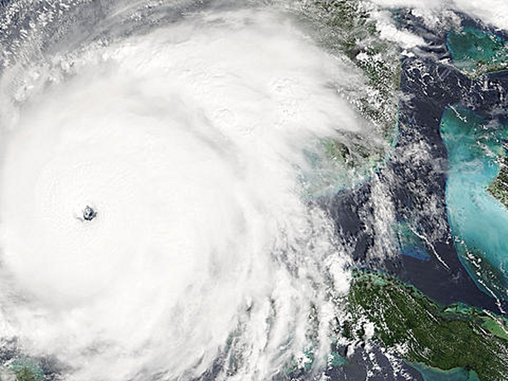
2005 Hurricane Rita
The MODIS instrument on the Terra satellite captured this image of Hurricane Rita on September 21, 2005 as it blasts across the warm waters of the Gulf of Mexico and heads for the coastline of Texas.
| Overview satellite imagery of Hurricane Rita | |
|
|
 Overview satellite imagery of Hurricane Rita [Source:NASA] |
|
NEWSLETTER
|
| Join the GlobalSecurity.org mailing list |
|
|
|
